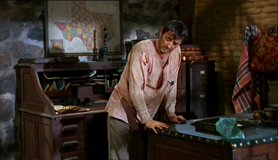
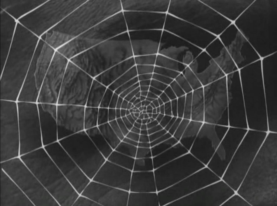
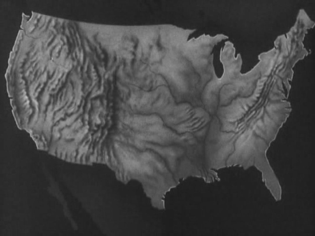
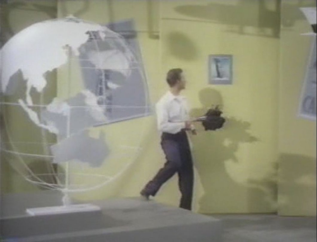
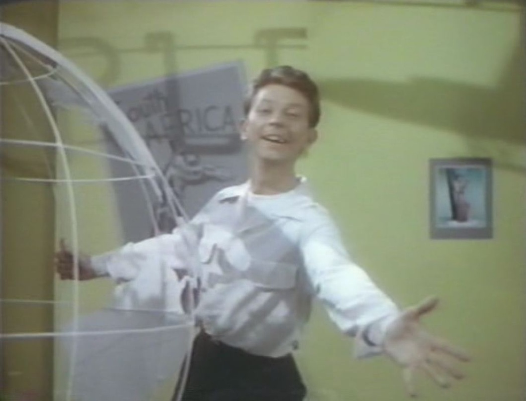
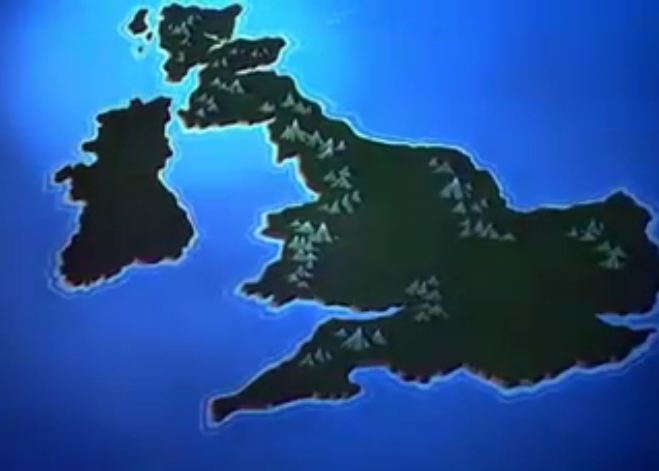
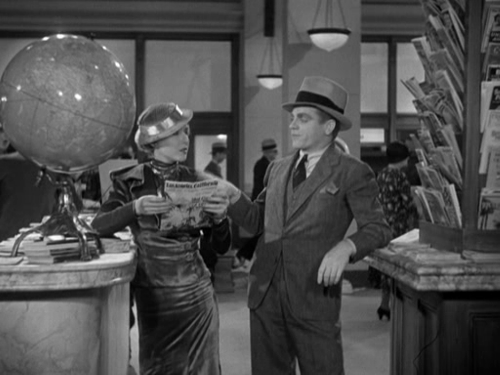
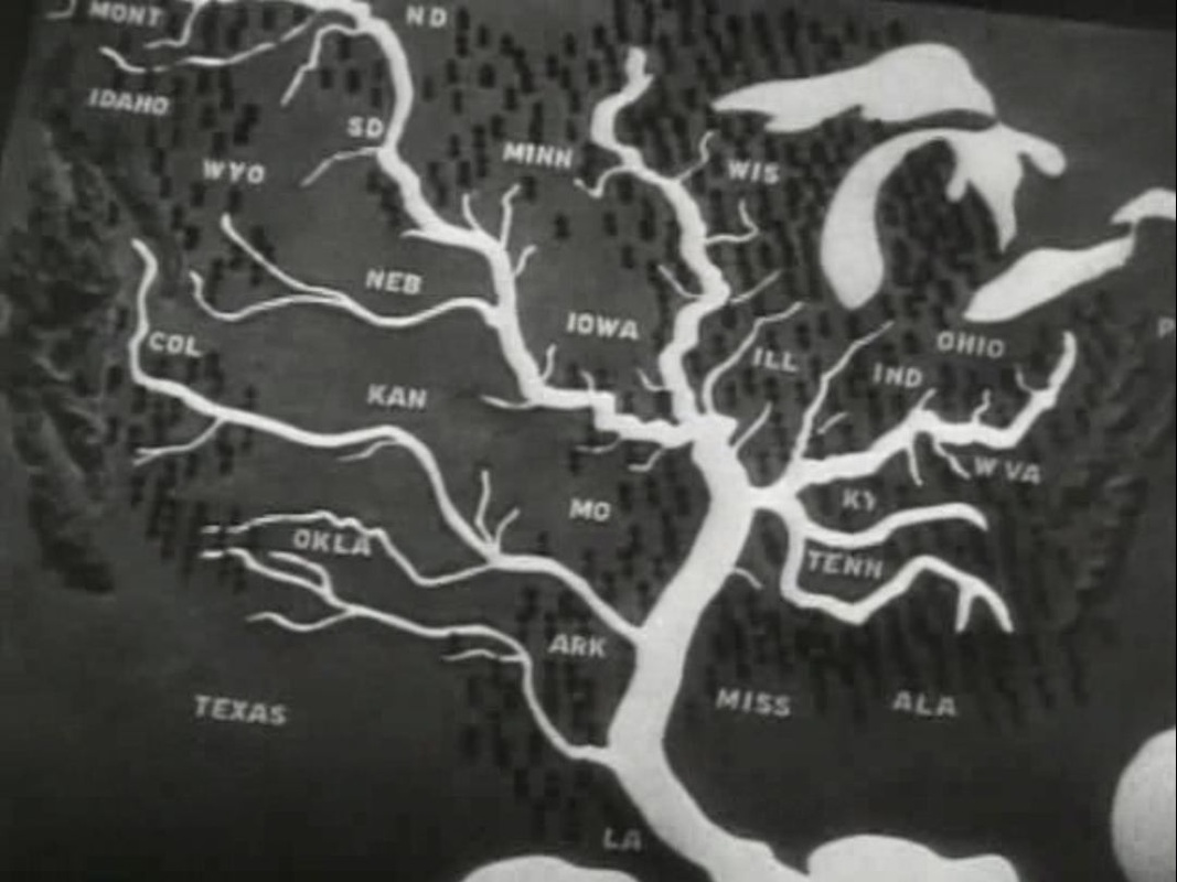
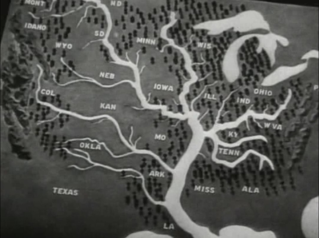
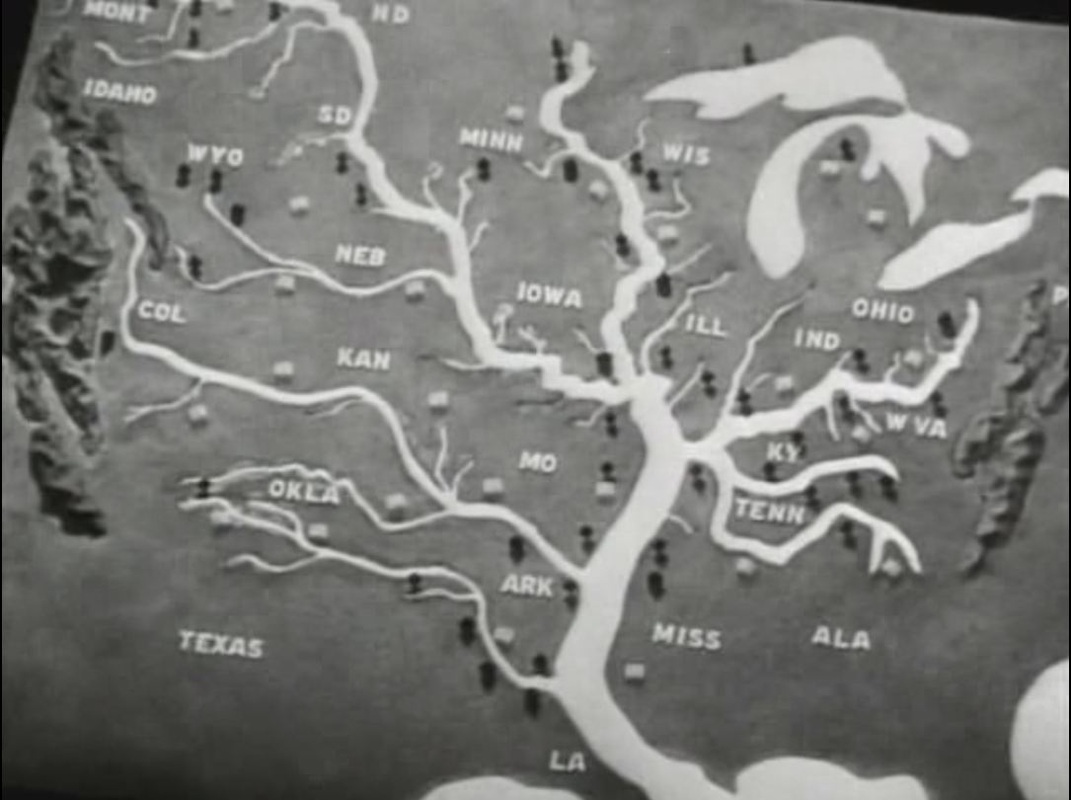
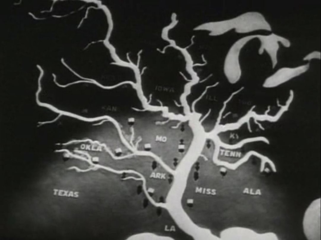
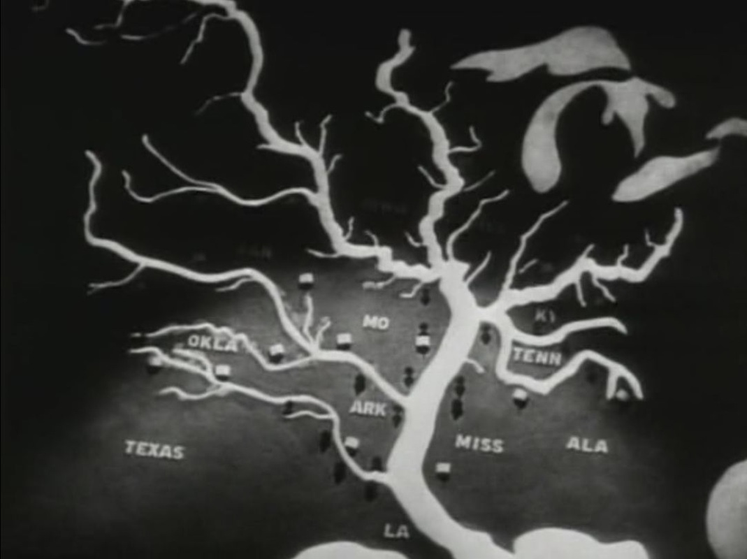
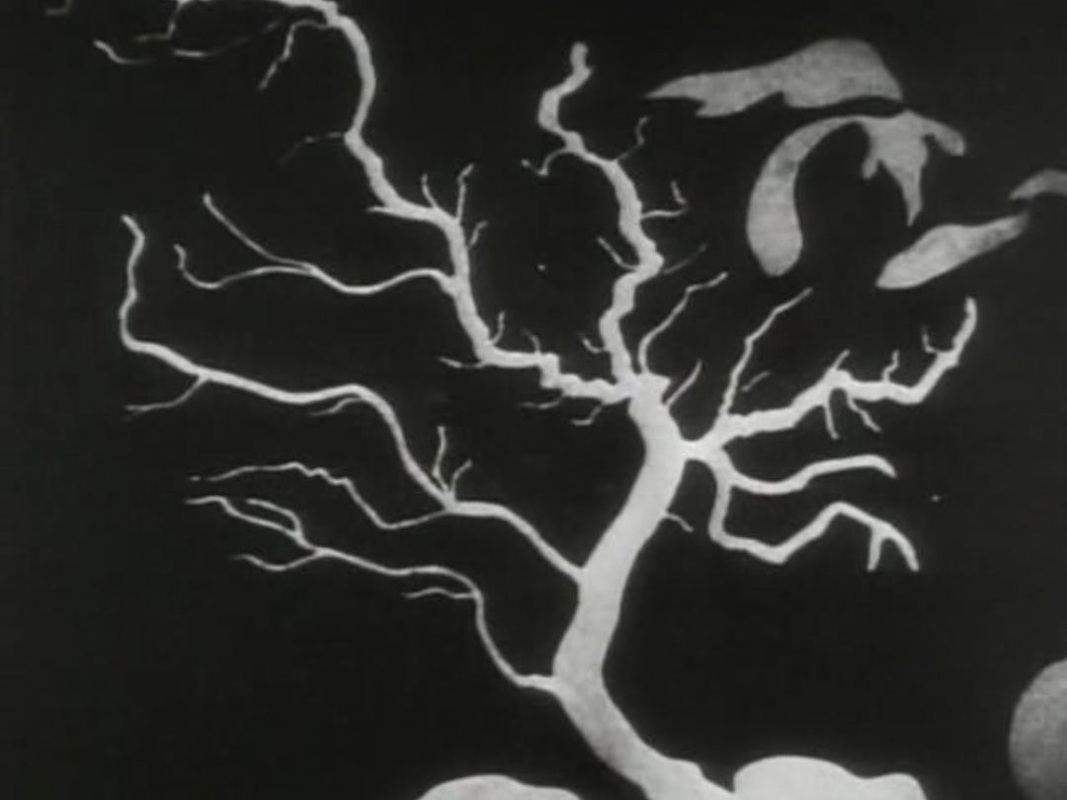
  'Backed by billions of dollars, by the resources of the biggest corporations, this conspiracy entangled the whole United States but it was kept secret till the Senate Committee turned on the light.' 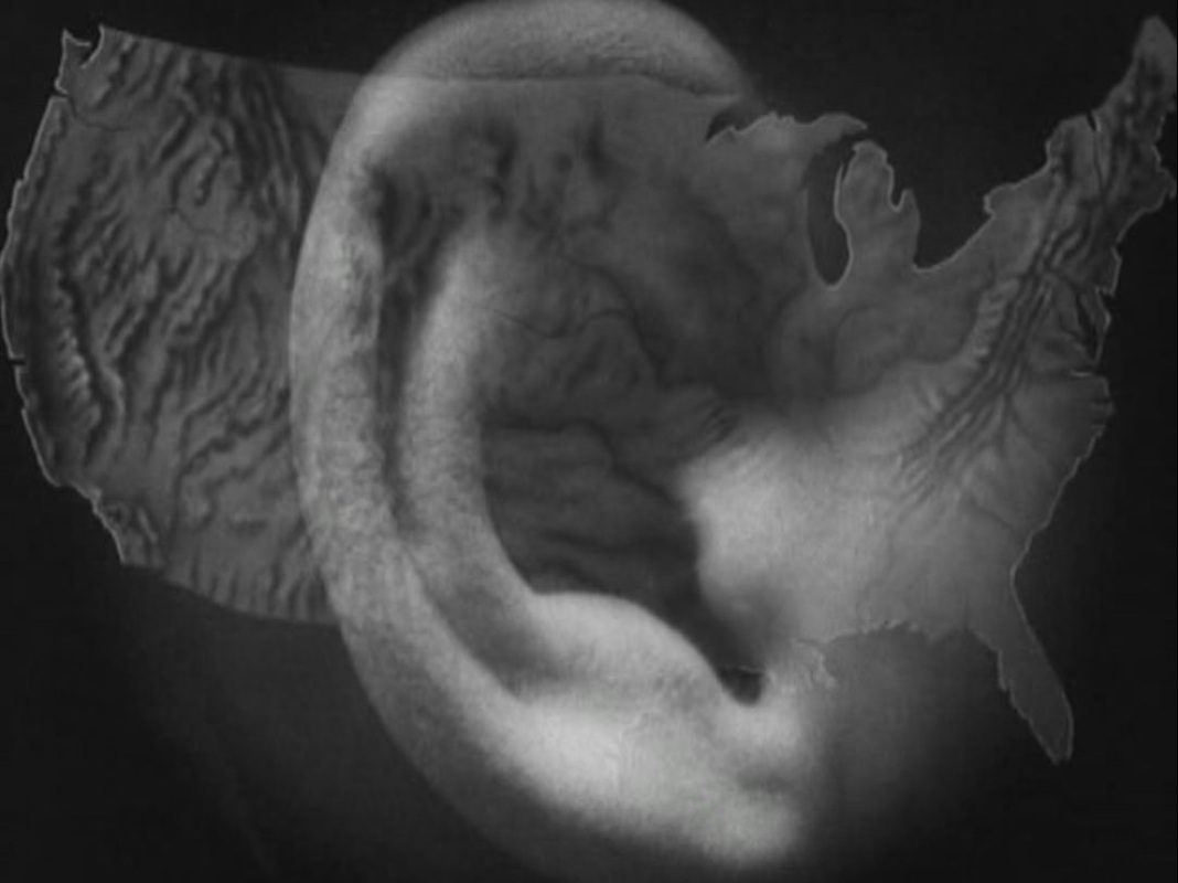 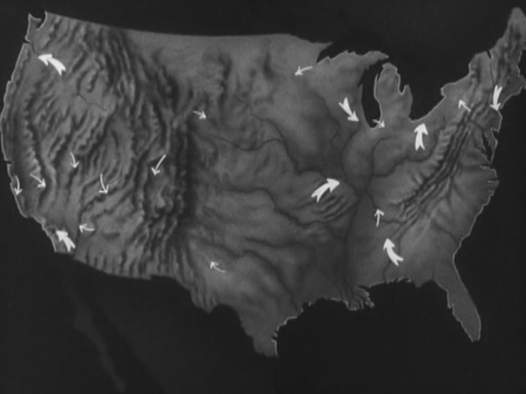 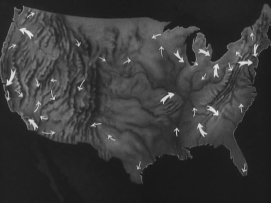 'Spies. The Senate Committee revealed the spies of a secret war, all over the country, planted in every local, forty-one thousand labor spies, an eighty million dollar payroll.'  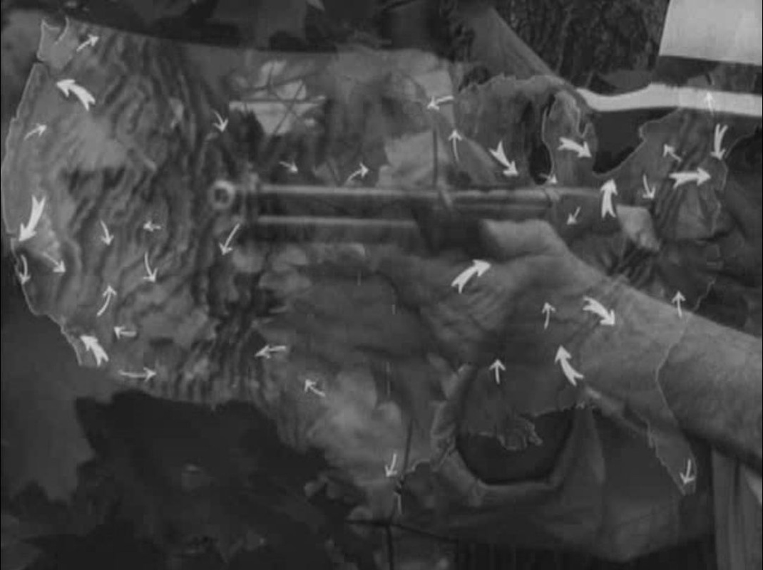 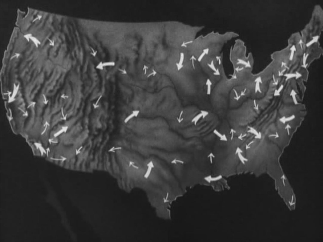 'The Senate revealed the existence of private armies, armies of criminals, organised for a secret war in every state of the Union, armed vigilantes, strike-breakers, company police, paid by private corporations.' 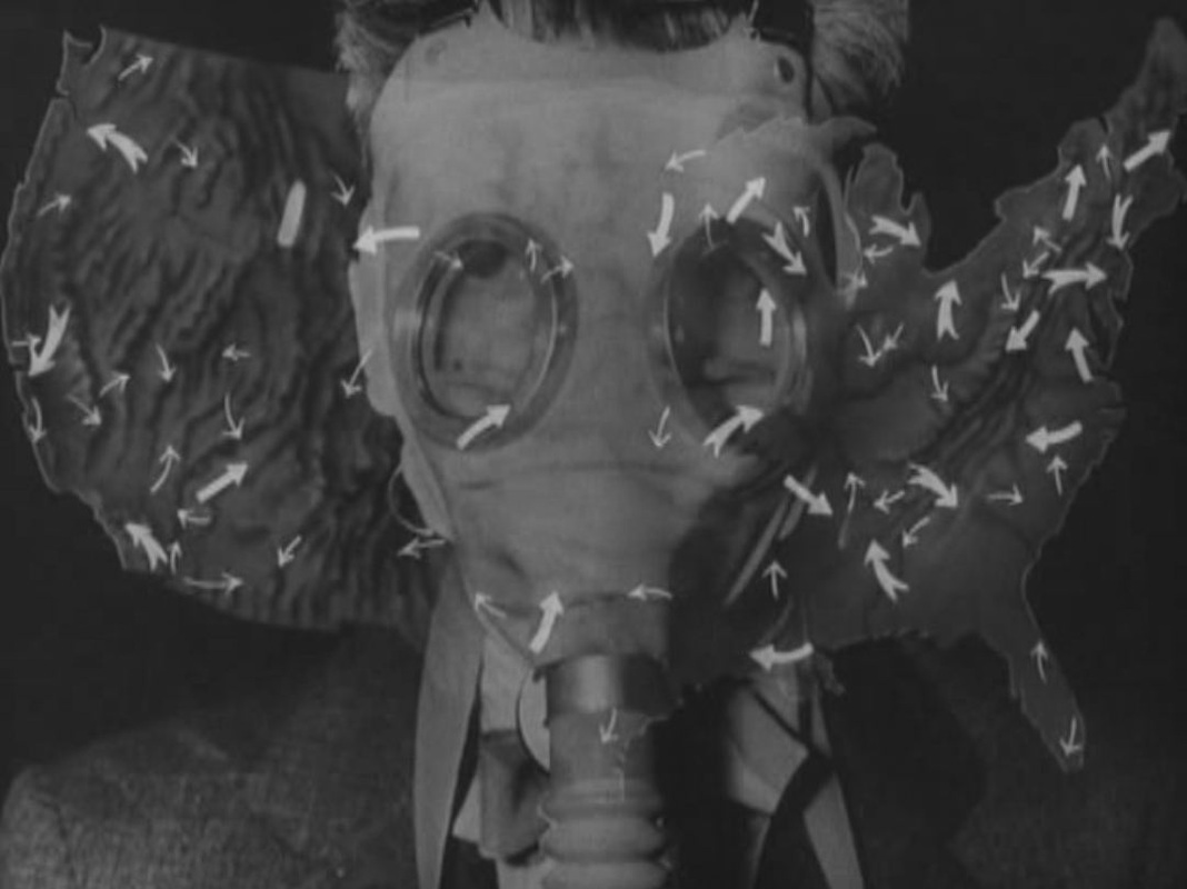 'Private arsenals. The Senate revealed private arsenals of tear gas, shotguns, machine guns, for a war against Americans. Millions of rounds of ammunition. Millions of dollars spent in secret.' 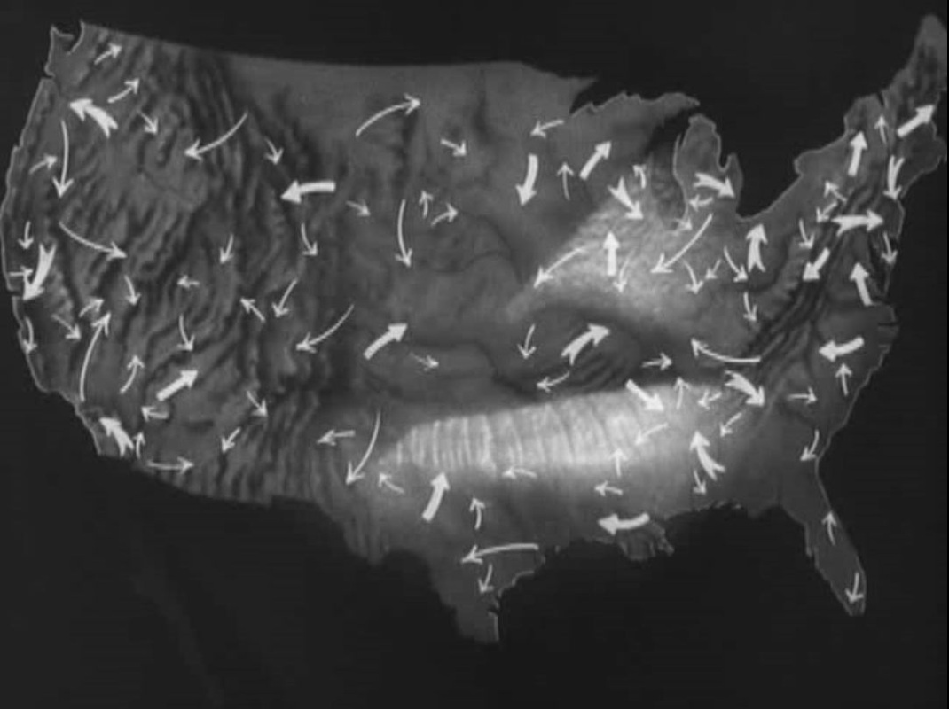 'And a system of nationwide propaganda used to attack progressive legislation. Newspapers, lobbyists, the radio, full-page advertisements, extending across the whole country.' 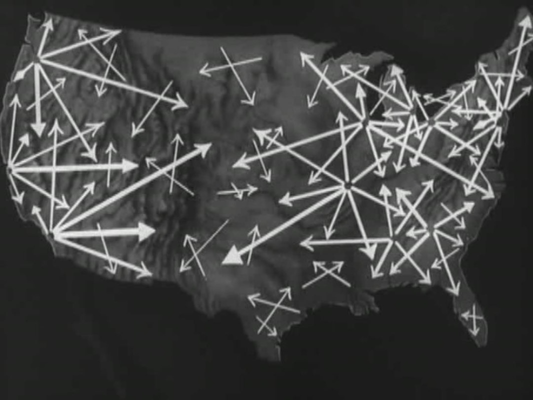 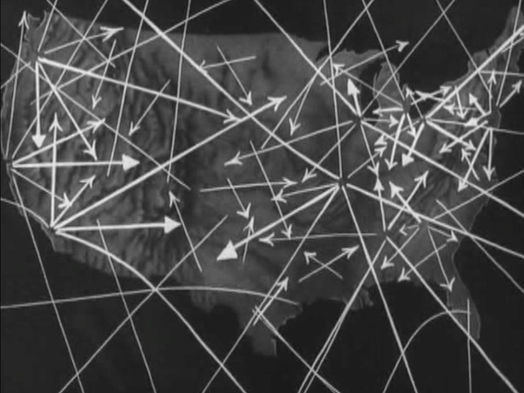 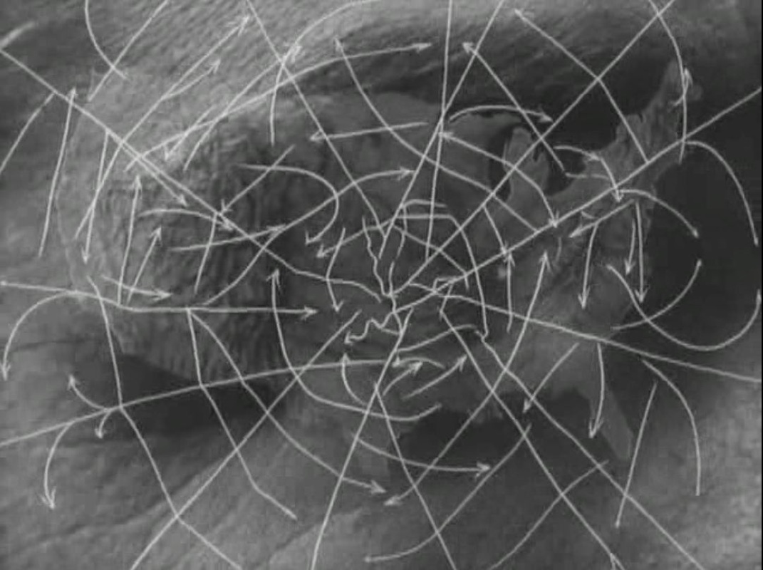 'Propaganda, arsenals, private armies, spies. The Senate exposed the secret connections, the interlocking parts of an immense conspiracy, directed by a handful of fascist-minded corporations.' 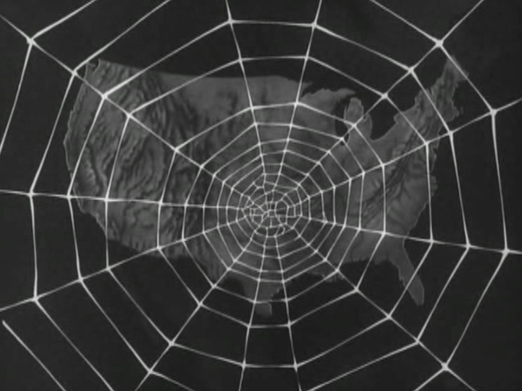 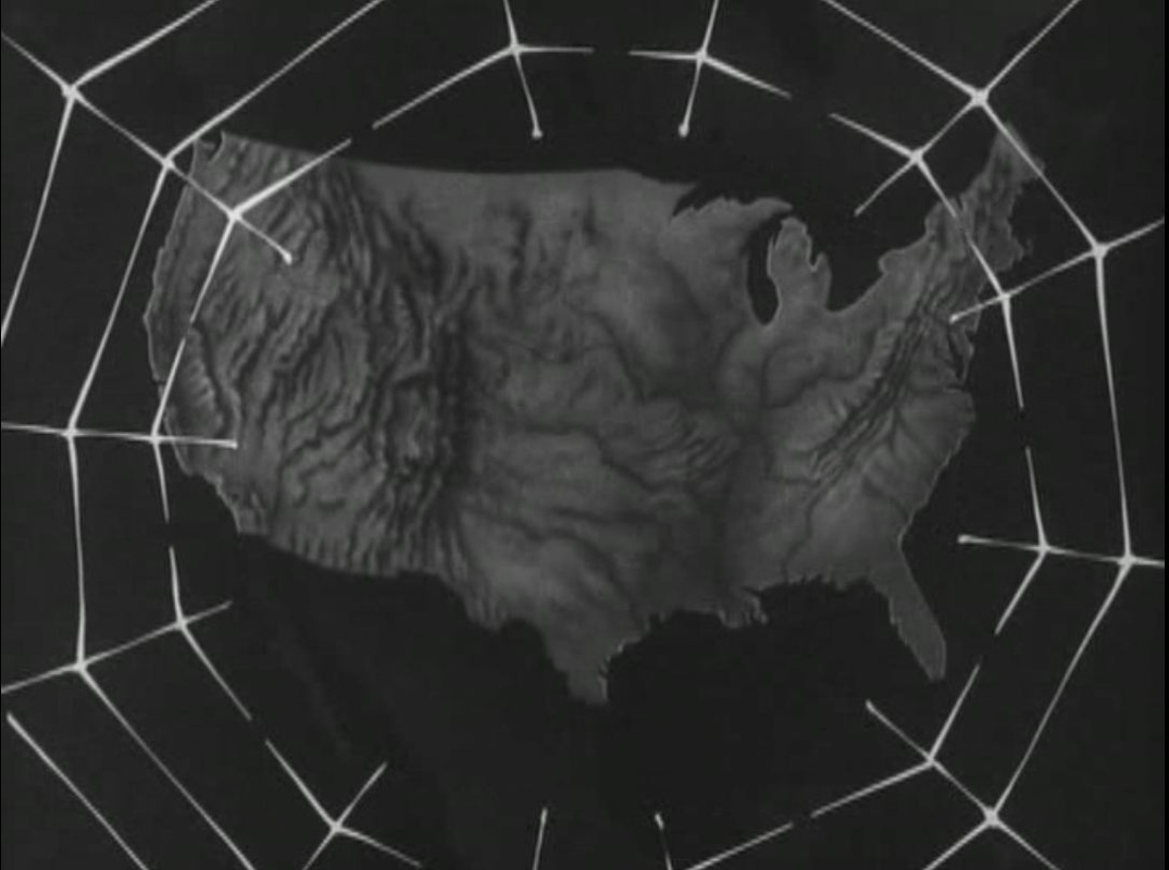 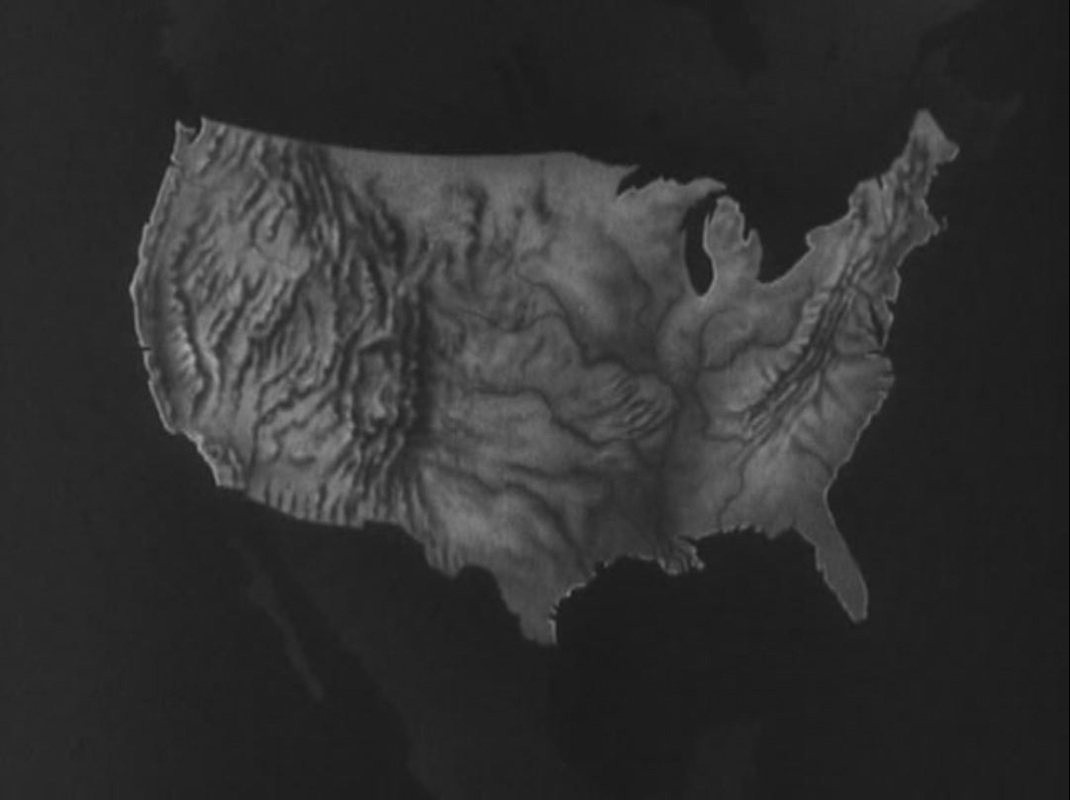 'Here was a criminal conspiracy to undermine the Bill of Rights, to weaken the strength of Americans, exposed, exposed to the light of day.' 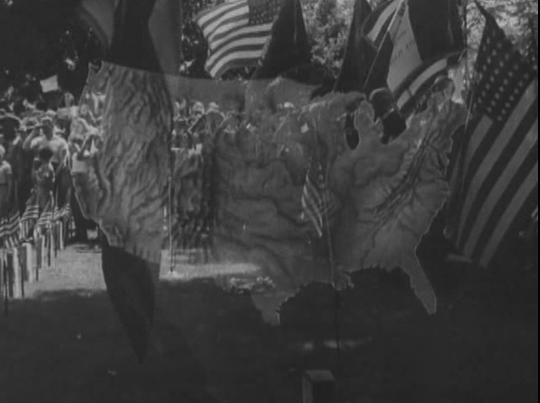  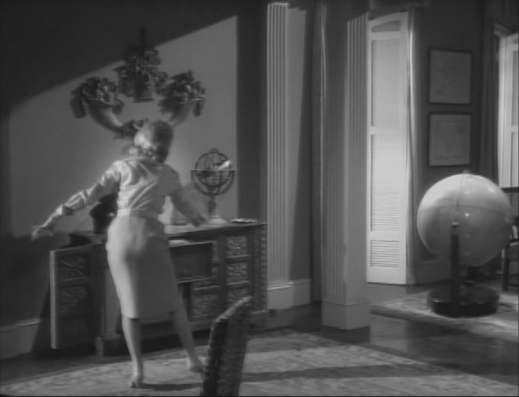 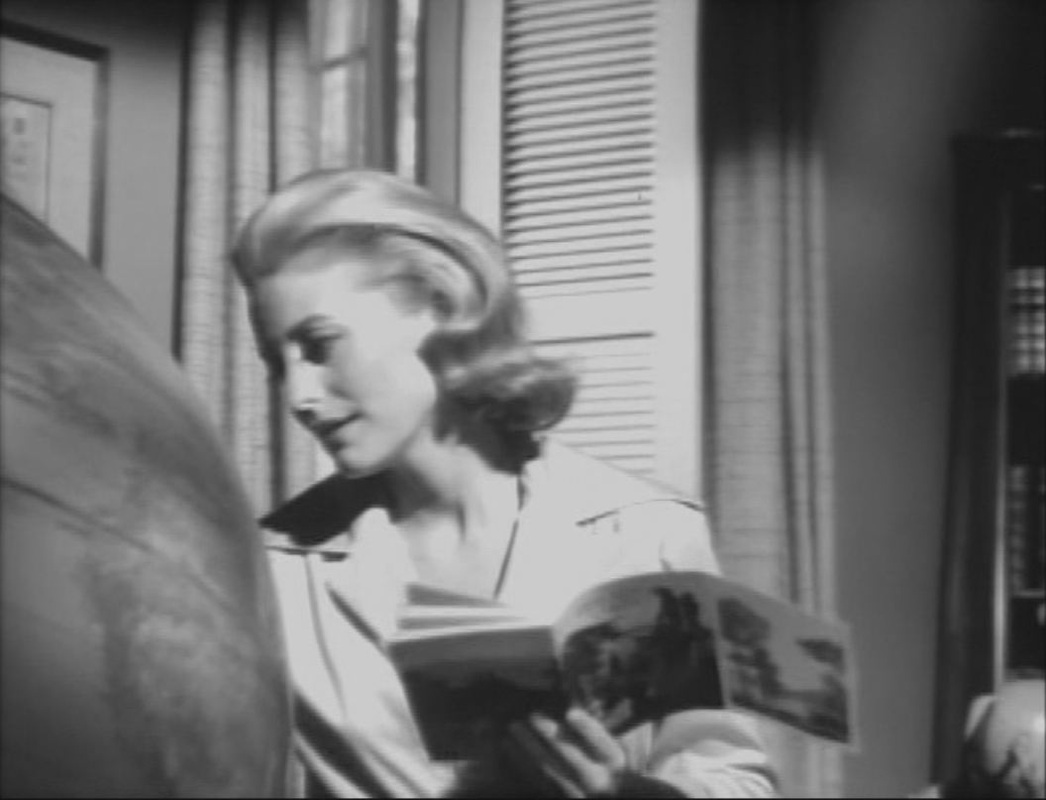  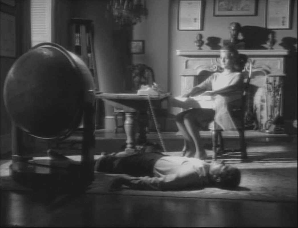  The globe is the film's dominant map, though others appear in minor roles:    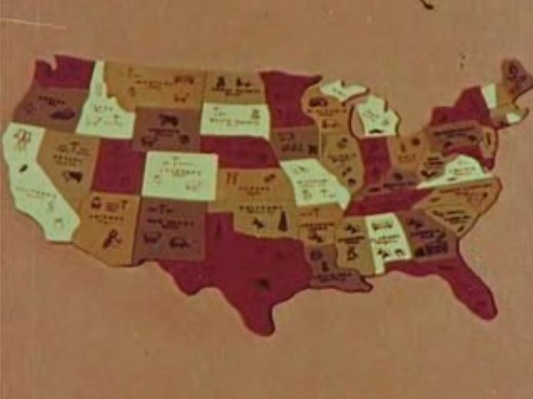 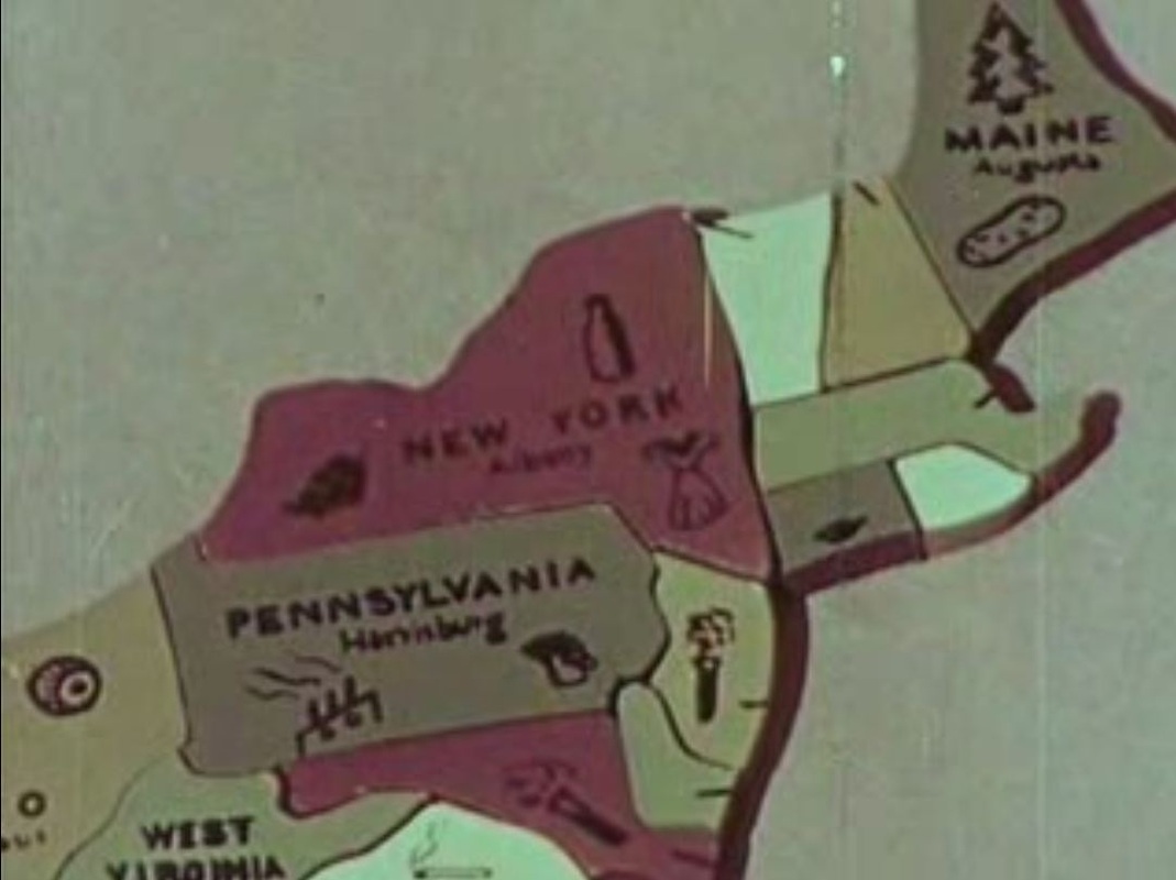  The map-as-jigsaw opens and closes Avalon Daggett's documentary on the Navajos in Arizona and New Mexico, accompanied by this commentary: 'America, a jigsaw puzzle of checkered colors and scenes, denoting many things in many places. (…) This golden country of canyons and of sand, one colorful segment of the jigsaw that is America today.' 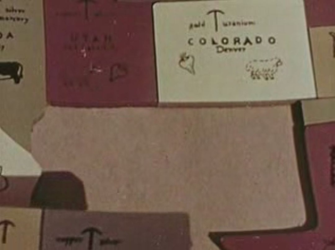 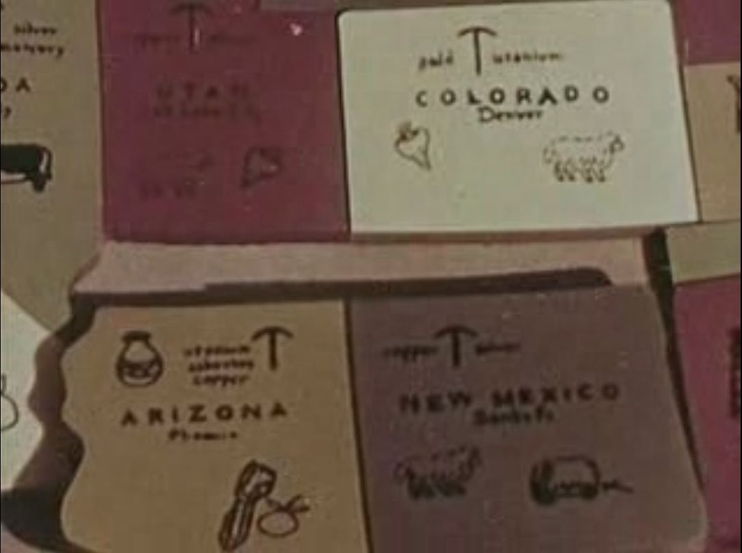 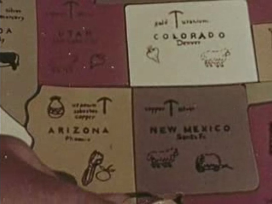 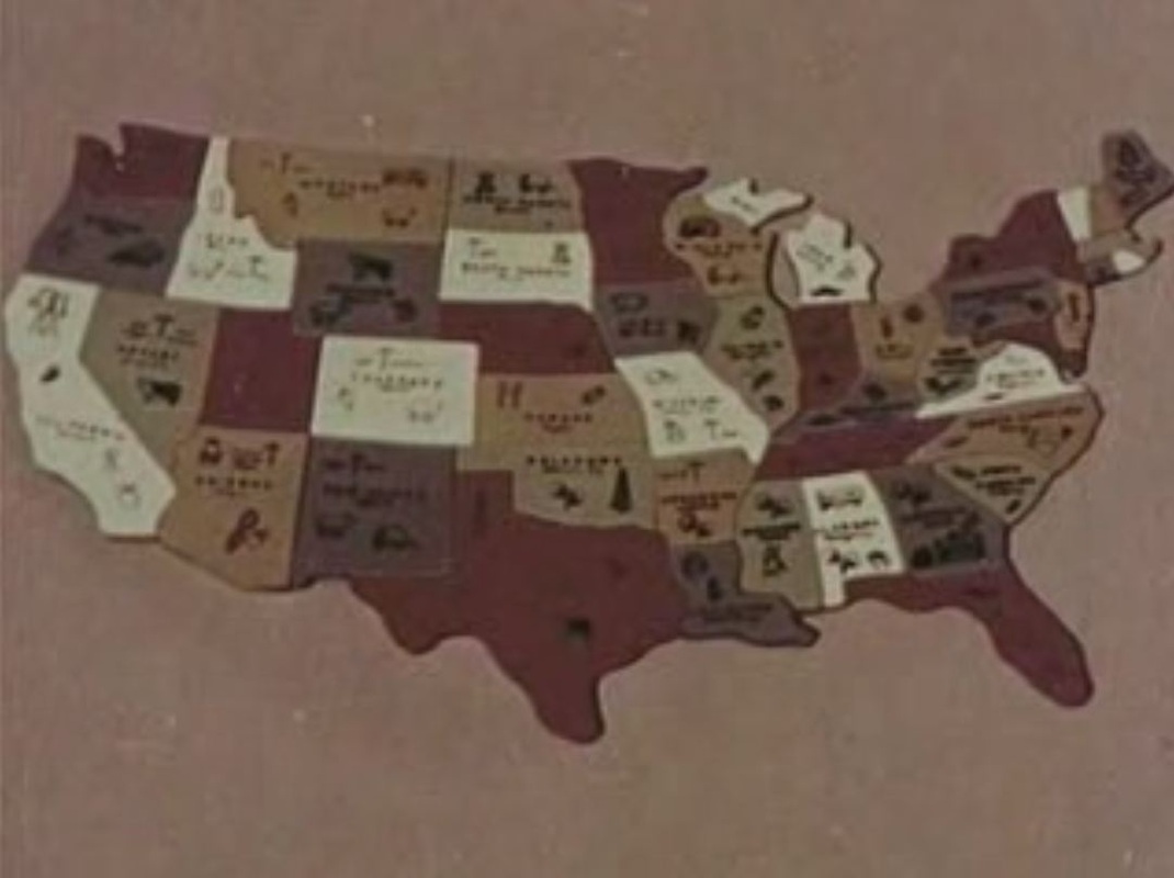 (You can watch the complete film here.) In Herds West (which you can watch here), her film on the movement of cattle along a 'production line', Daggett uses a cinemap as illustration: 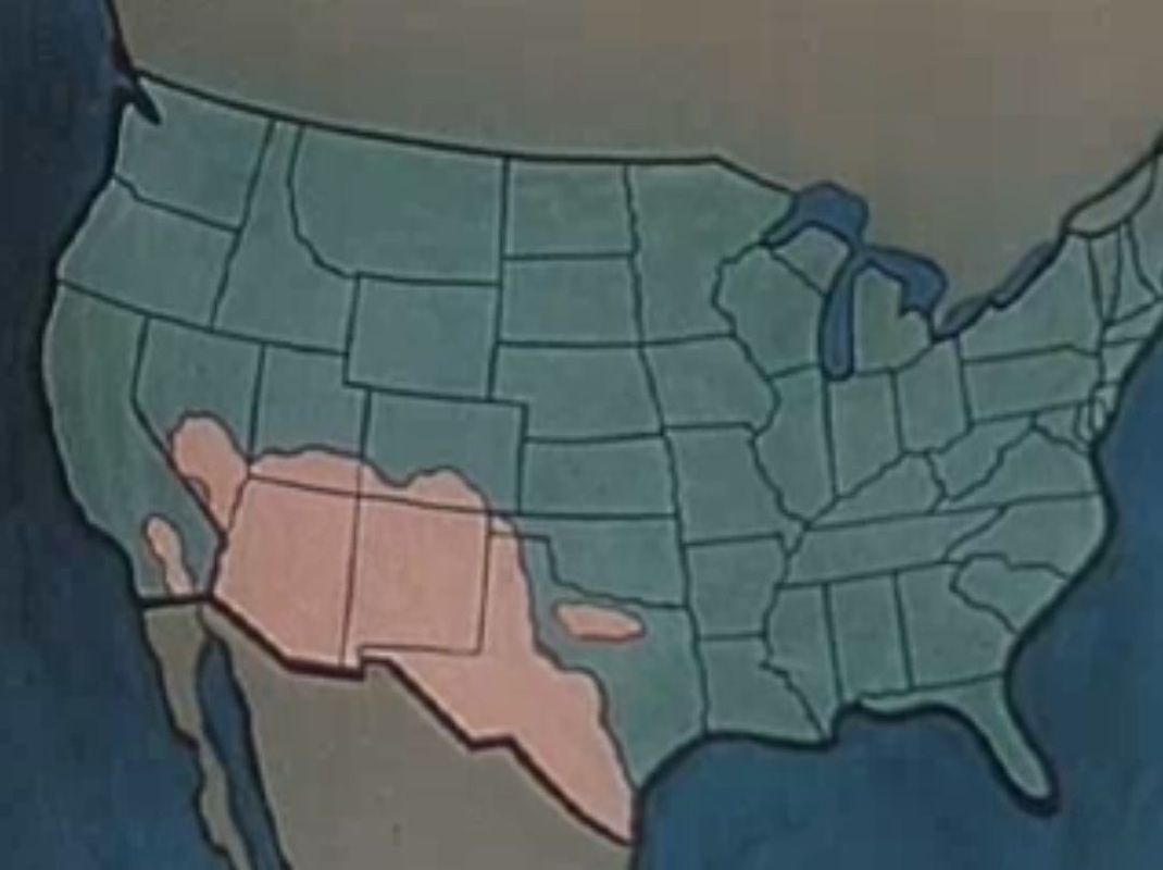 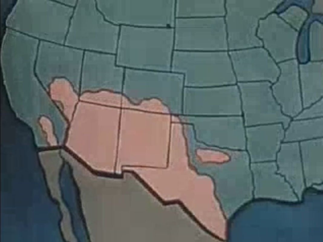 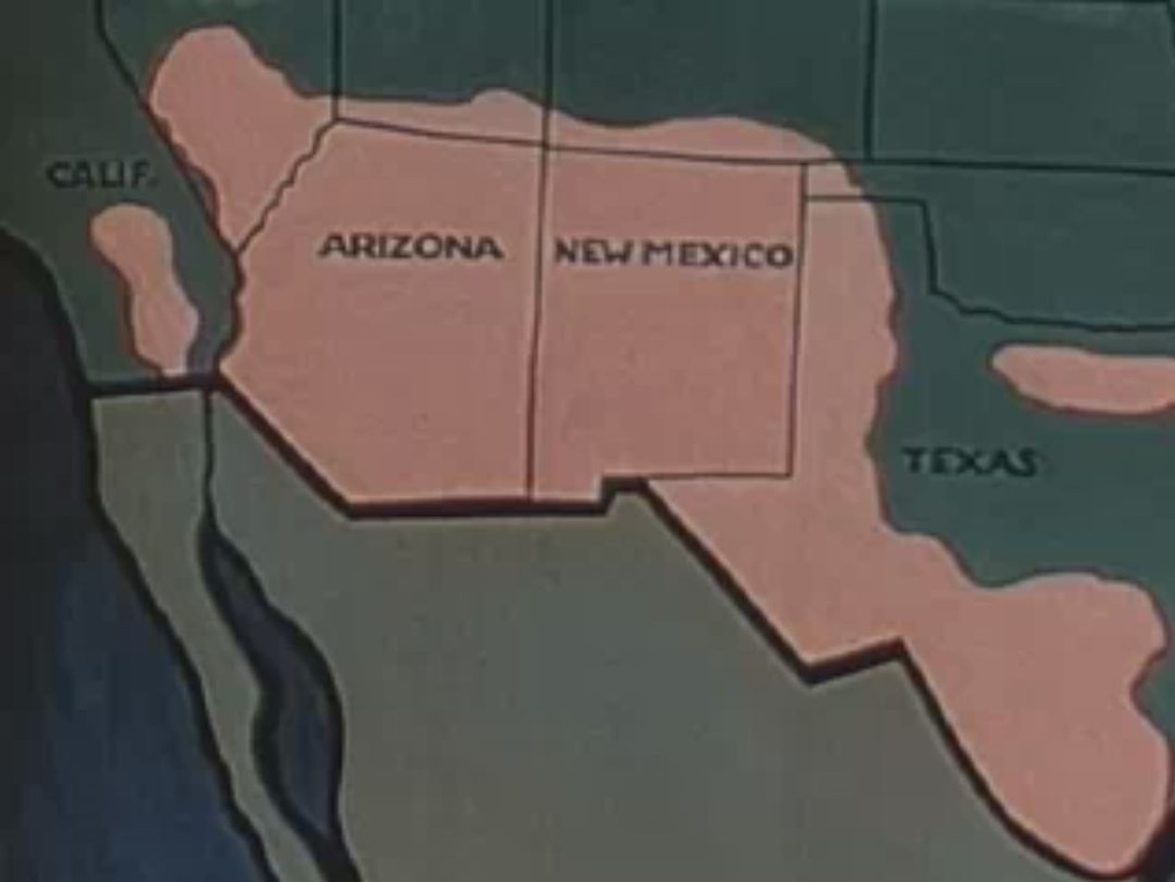 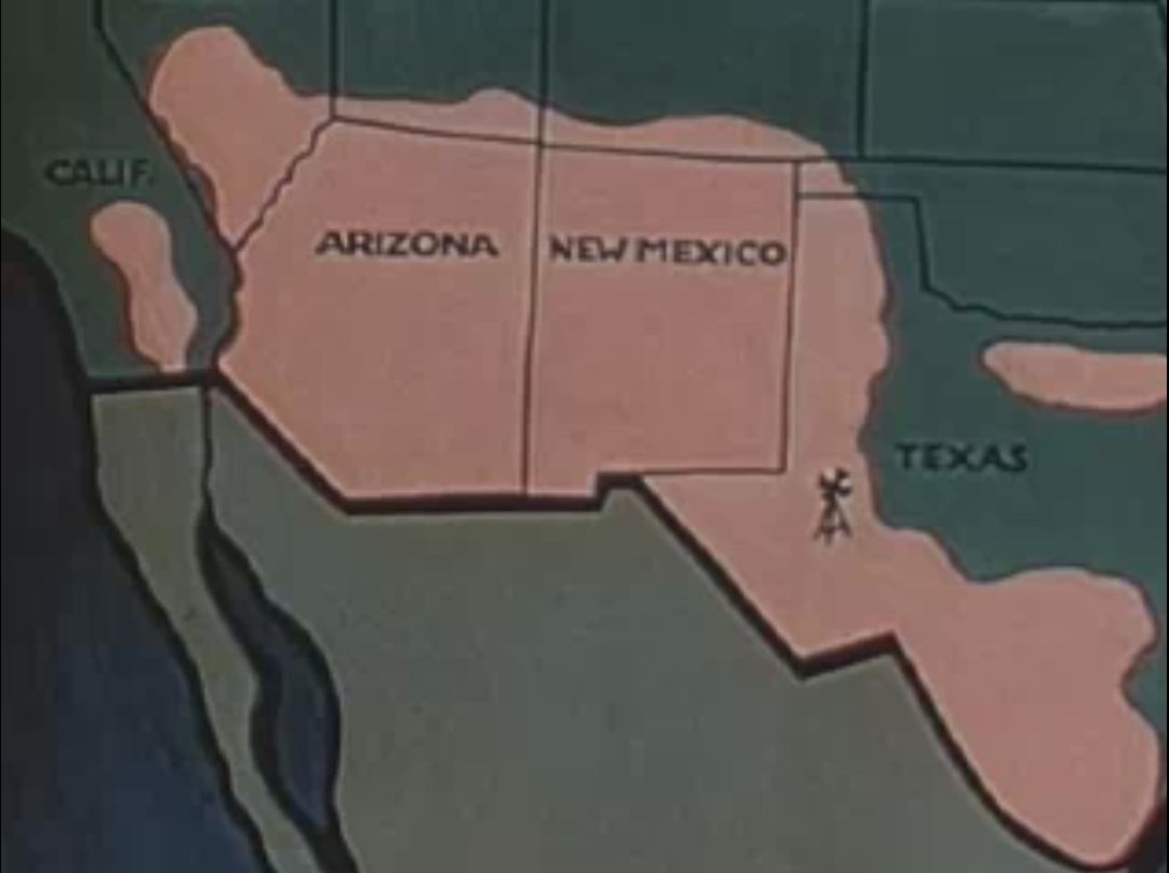 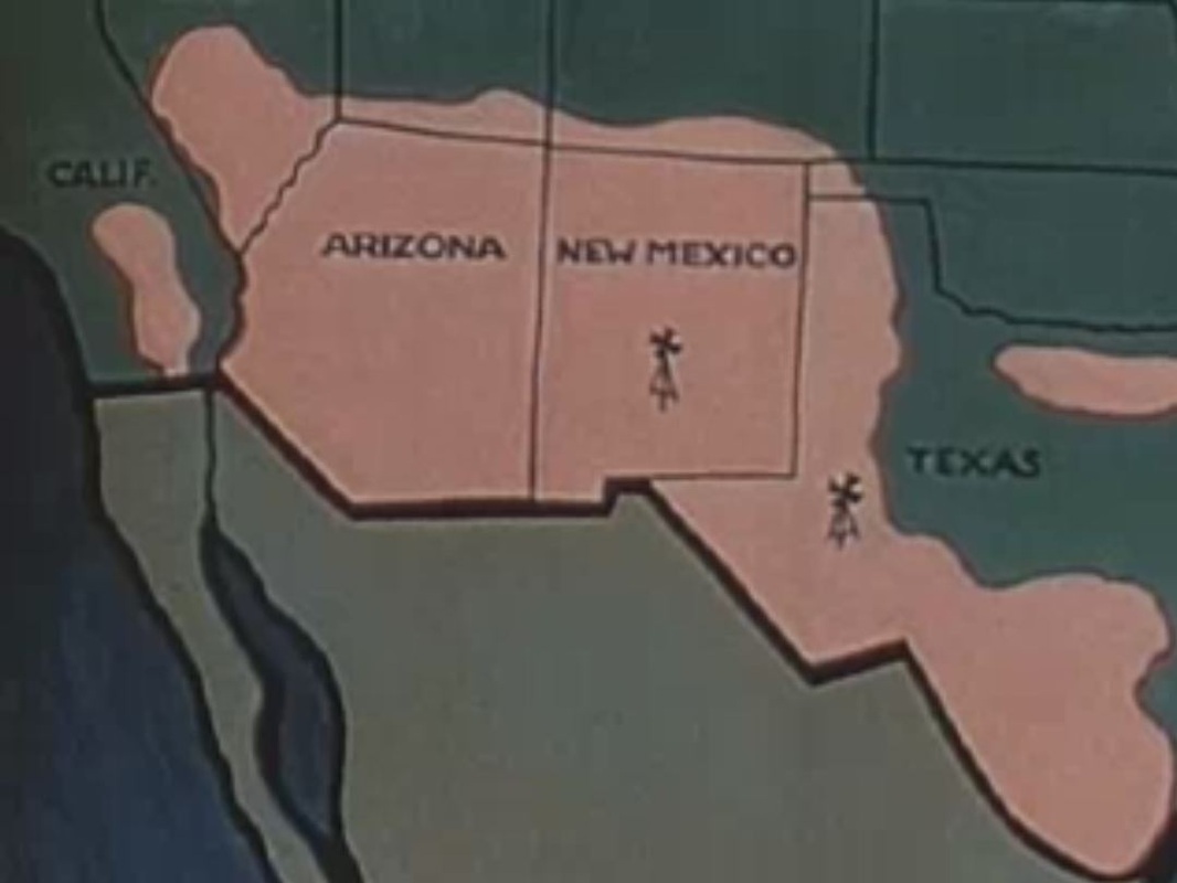 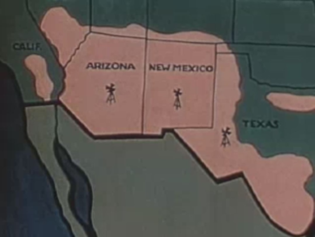  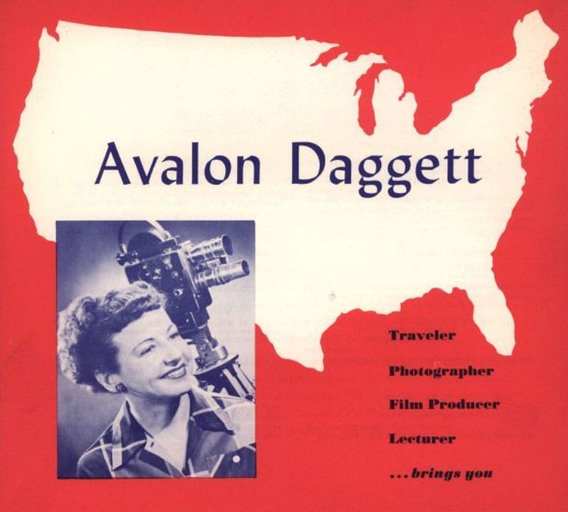 (The brochure above is from the Iowa Digital Library, Universities of Iowa.) 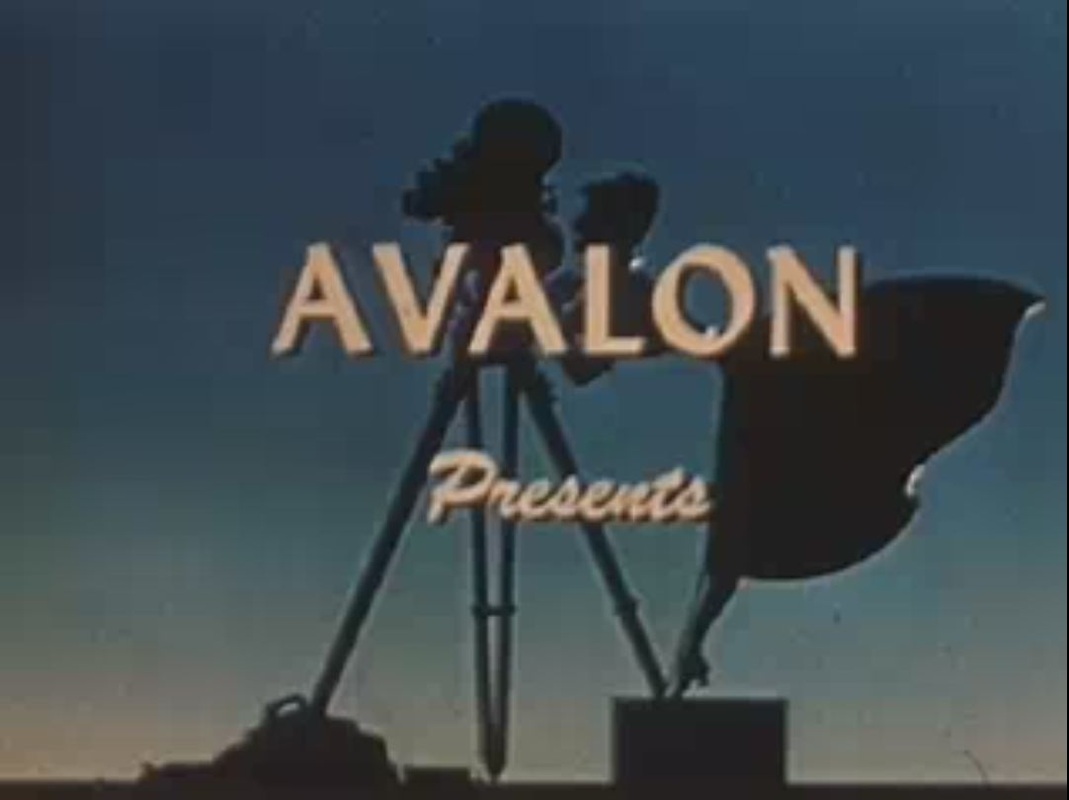
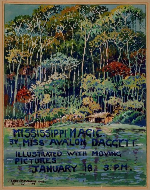
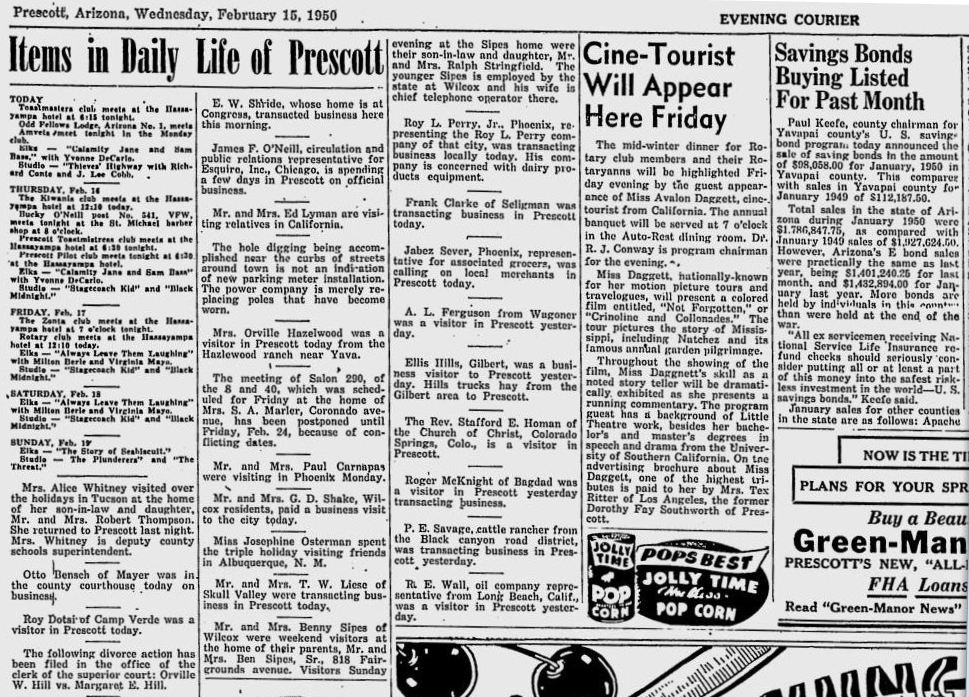
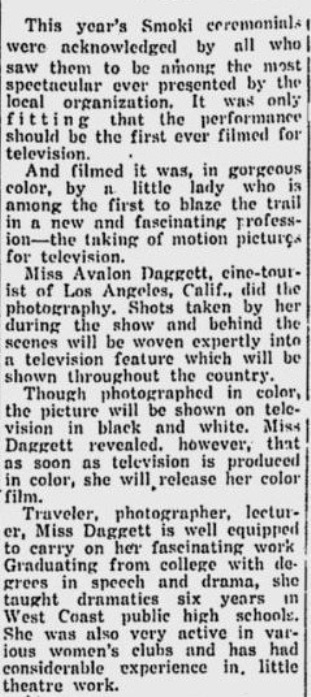
From the sample of titles I have been able to find it is clear that she understood her educational brief to cover very varied aspects of 'America the Beautiful': Louisiana Gayride (1949), Indian Pow-Wow (1951), Villages in the Sky (1952), Tribe of the Turquoise Waters (1952), Peaceful Ones (1952), Smoki Snake Dance (1952), Warriors at Peace (1952), Mississippi Magic (1954), Tournament of Roses Parade (1954), Arizona Adventure (1954), Weavers of the West (1954), Father of the Southwest (1957), Copper, Steward of the Nation (1959), Marshes of the Mississippi (1961), A Way of Life (1961), Rice, America’s Food For the World (1962), Signs, Signals and Safety (1966), School Bus Driver VIP (1967), Swamp Expressway (1972) 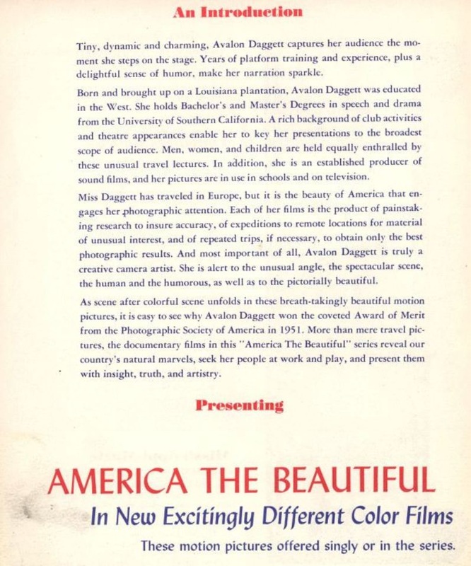   Another article in the Prescott Evening Courier gives interesting detail about the camera Daggett used, and about the relation of her work to television:
She died in 2002, leaving a bequest to fund three professorships at Louisiana State University, the 'F. Avalon Daggett Professorships in Rice Research', a callback perhaps to her 1962 film Rice, America’s Food For the World. 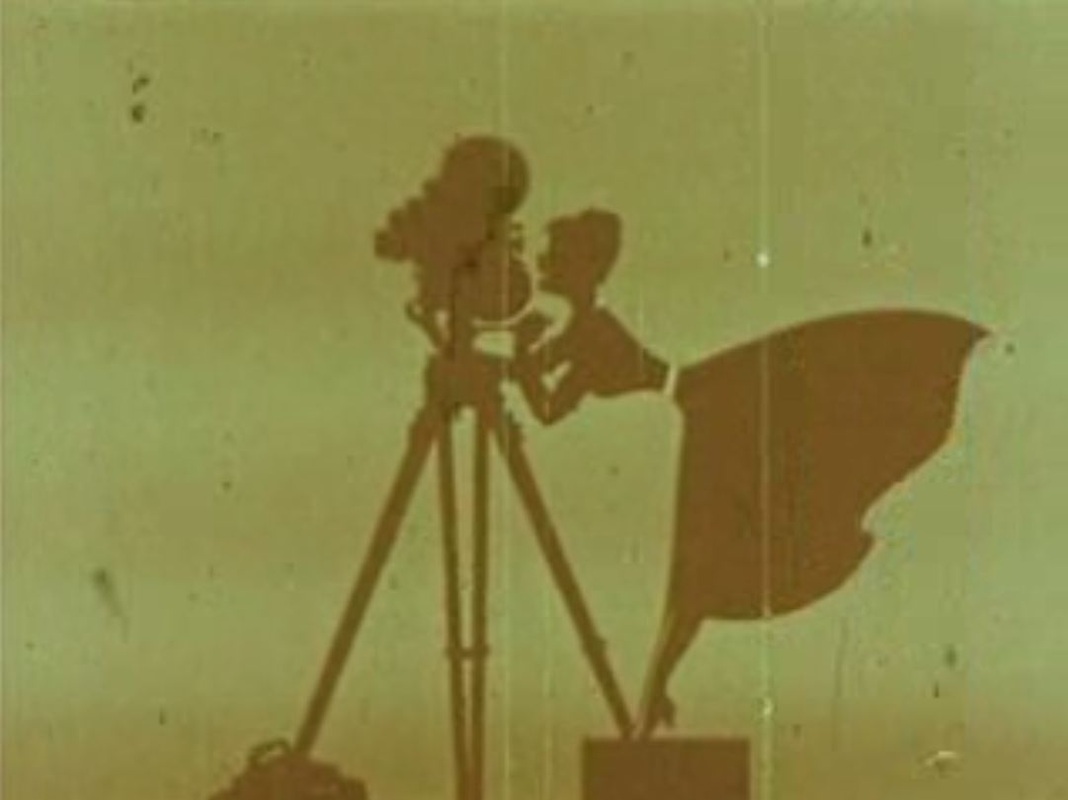 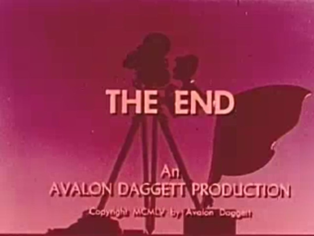 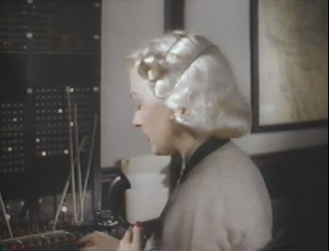
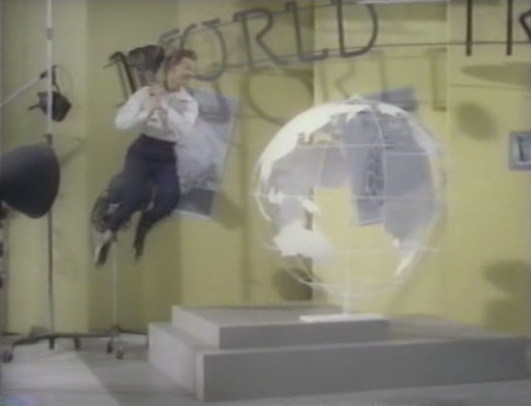
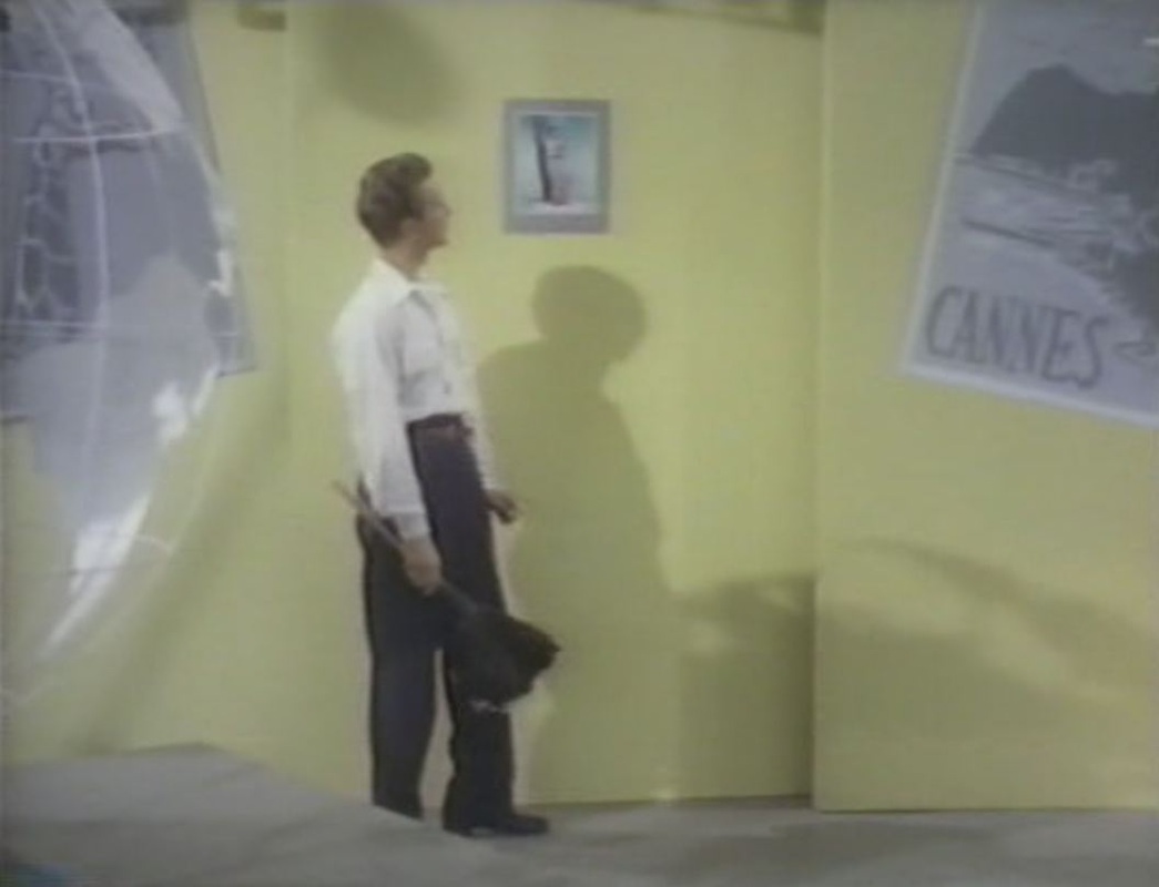
A brief glimpse of the West Coast on a map is an irrelevance in this New York-set film. The real map moments are in Melvin's world travel dance number: 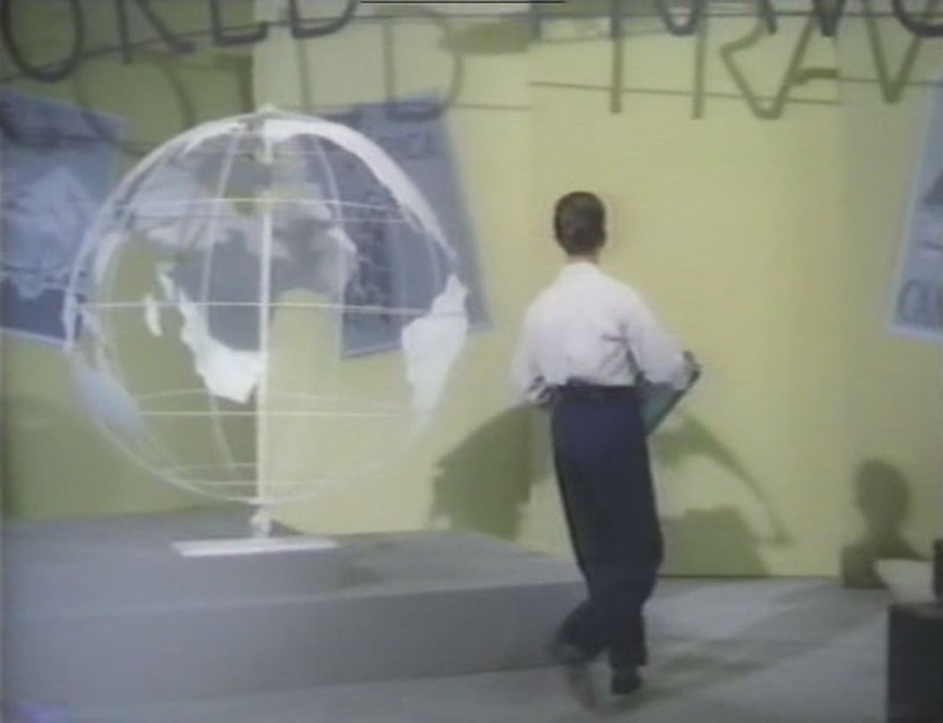
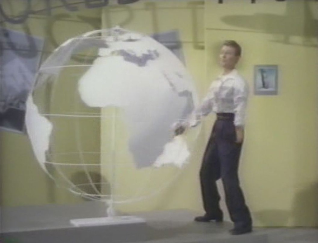
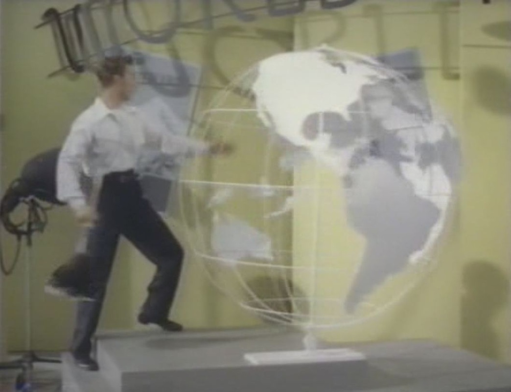
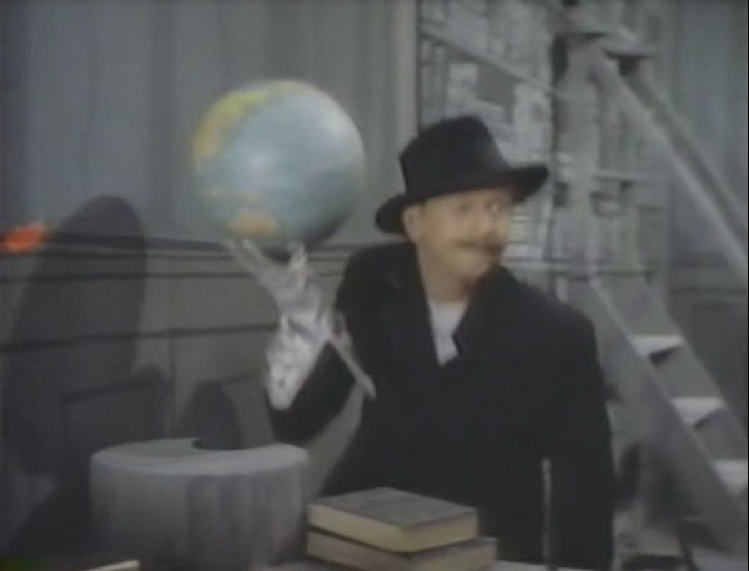
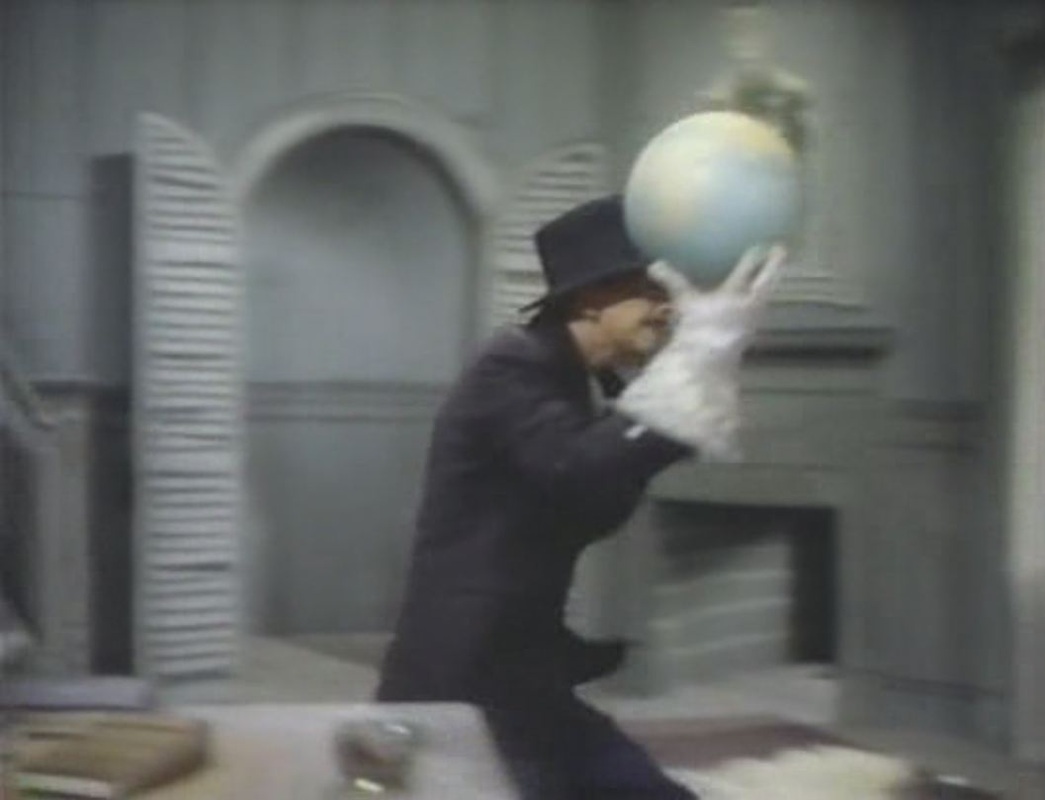
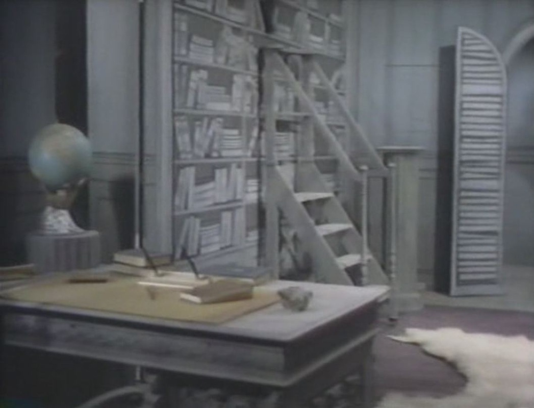
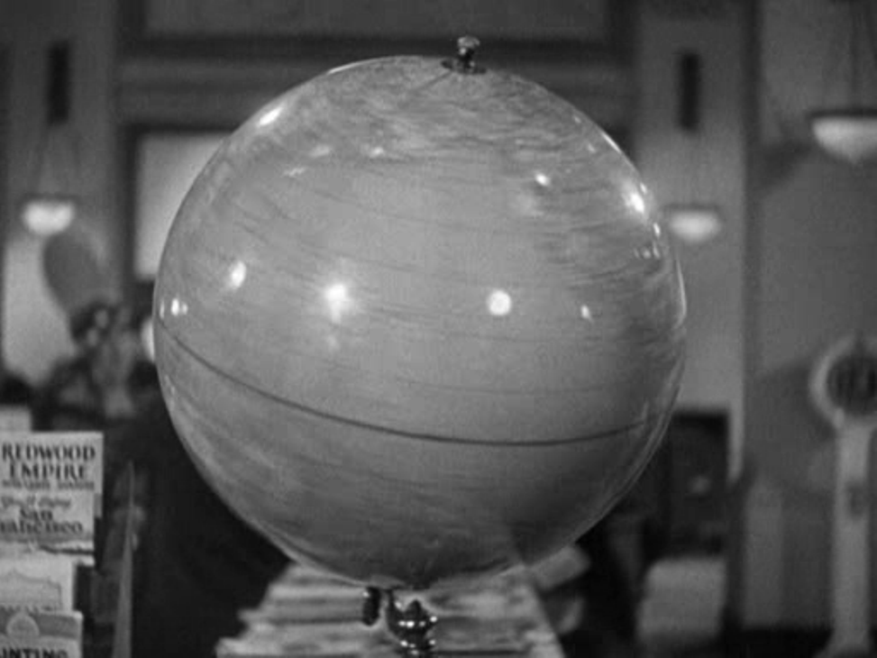
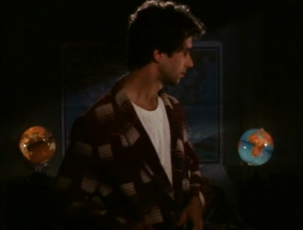
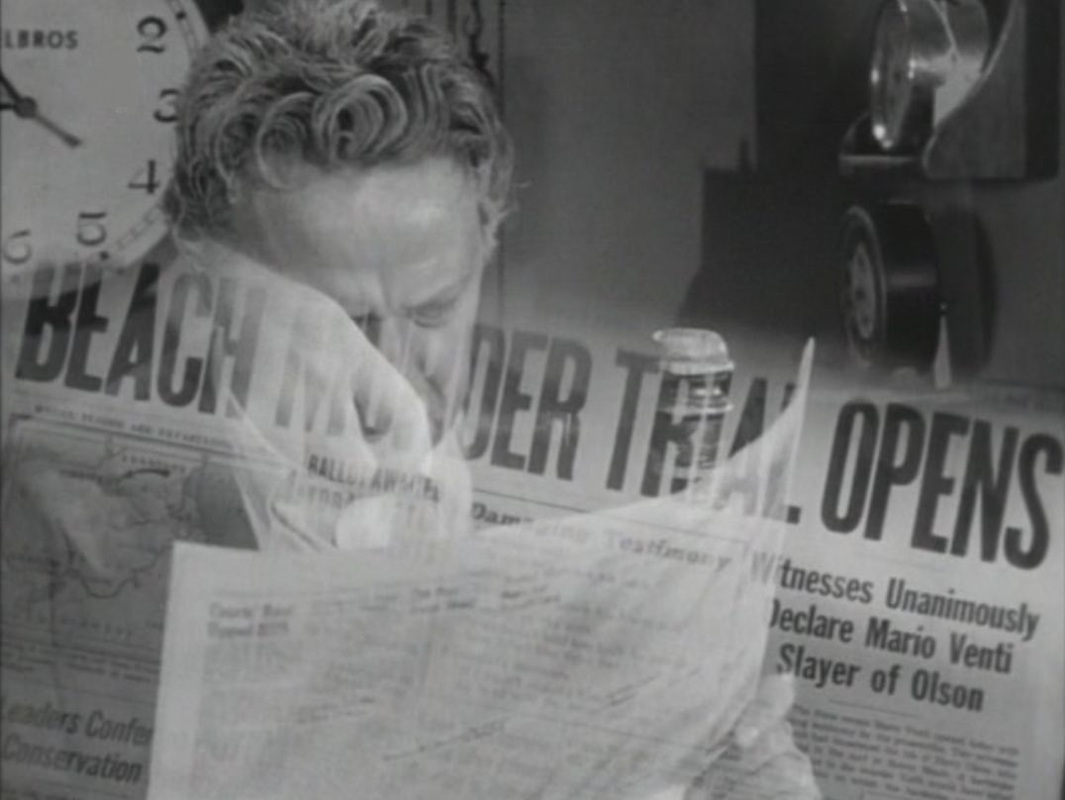
This number includes a crime-investigation digression, featuring a different globe: 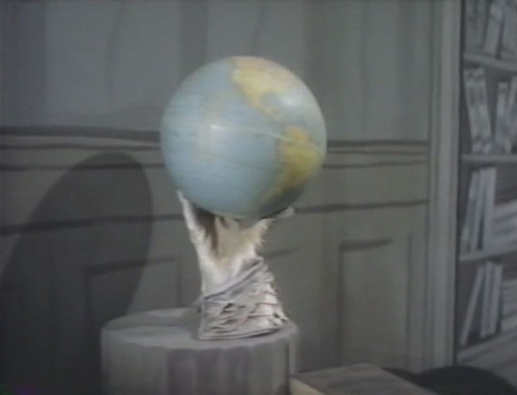
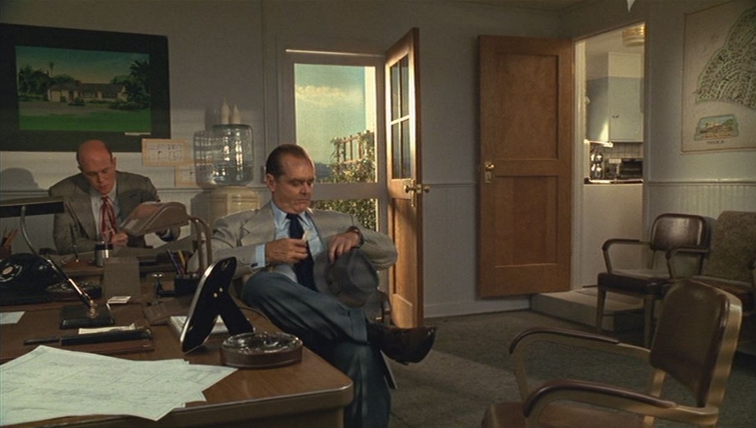 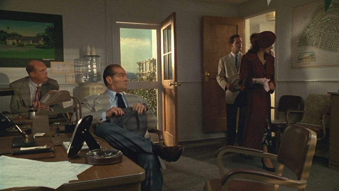  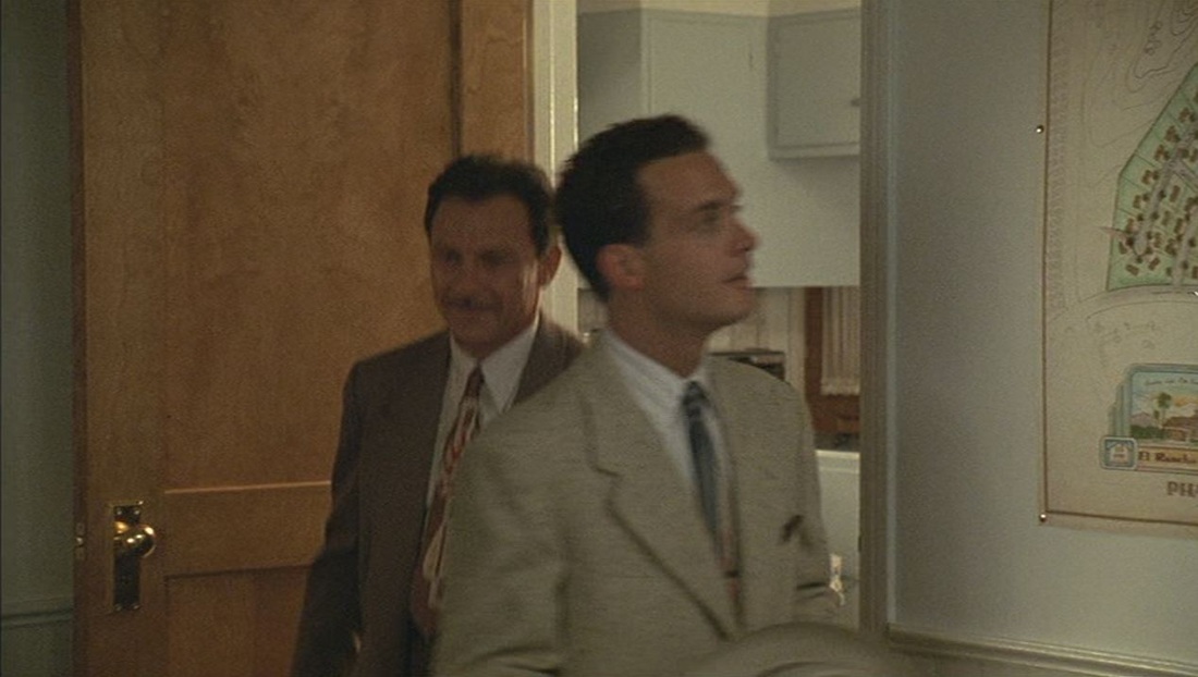 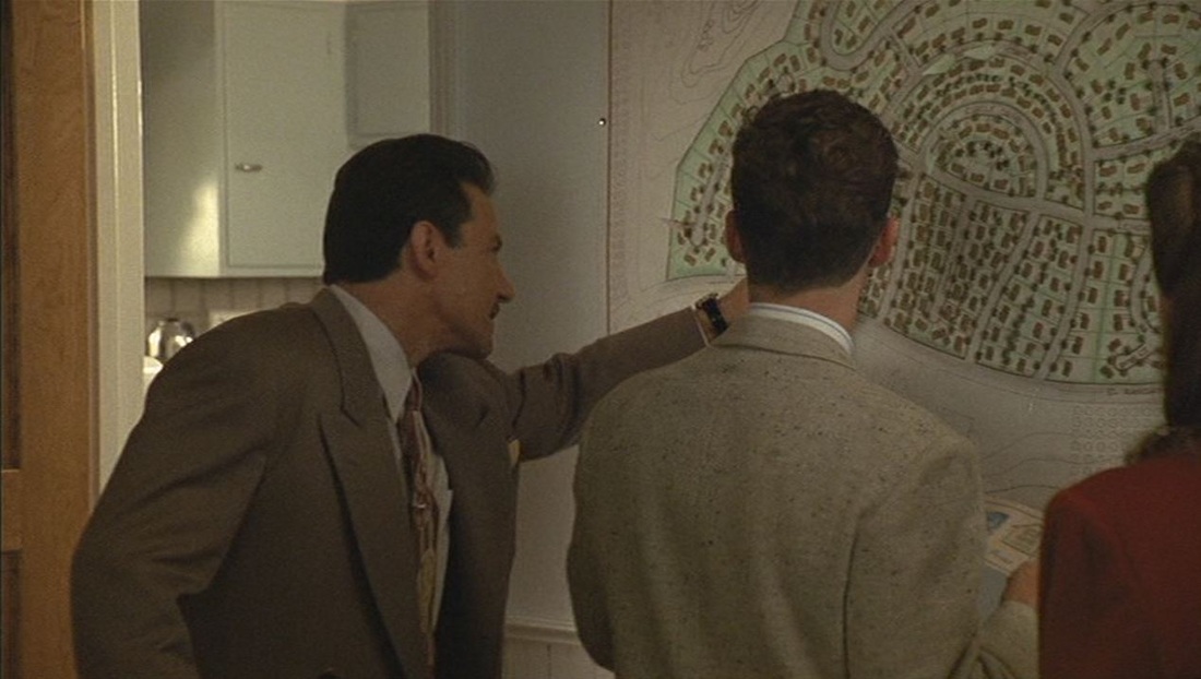 There are two sets of maps, neither of which has the strong connection to plot that the principal maps had in Chinatown (of which The Two Jakes is a sequel).    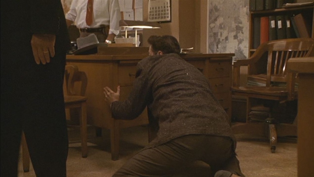 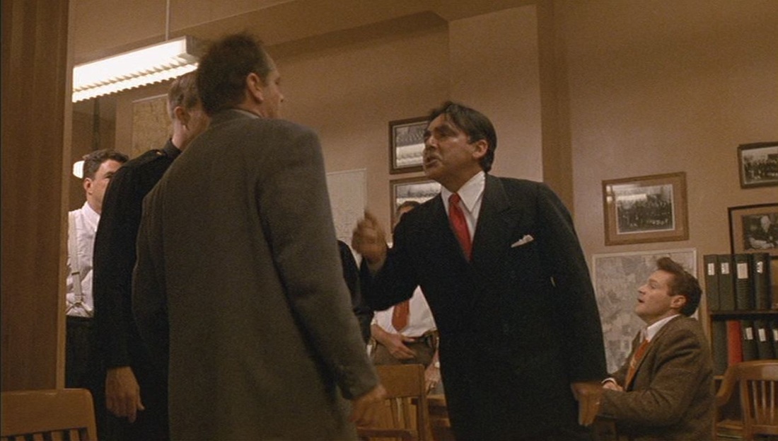 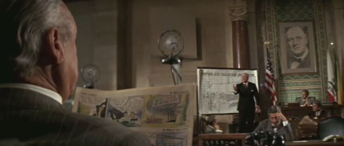 This first view of a map neatly positions it in a receding sequence from comic strip to portrait of Roosevelt. In this public display and explanation of maps, we see them from a variety of angles and distances: 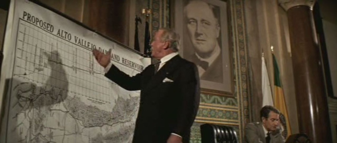 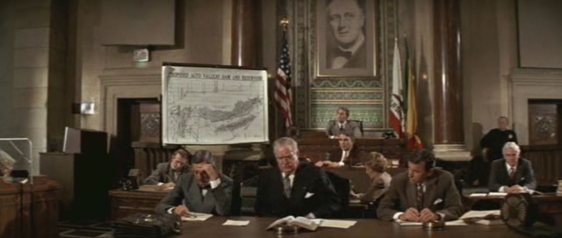 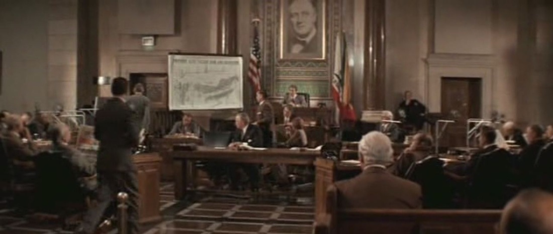 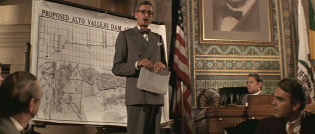 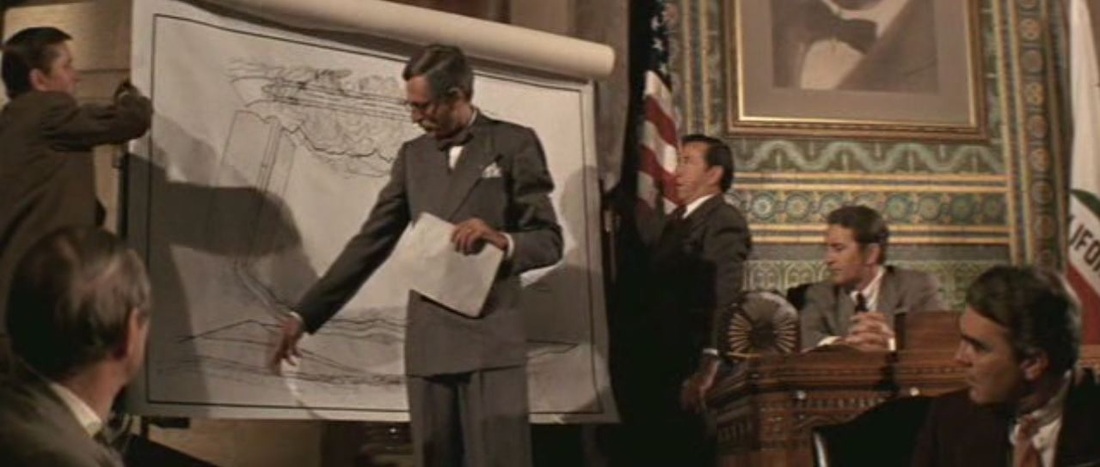 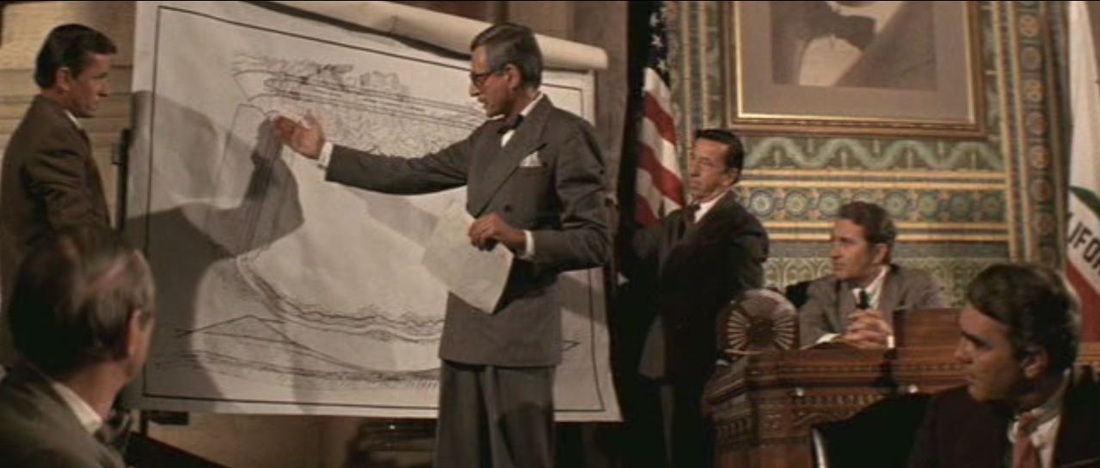 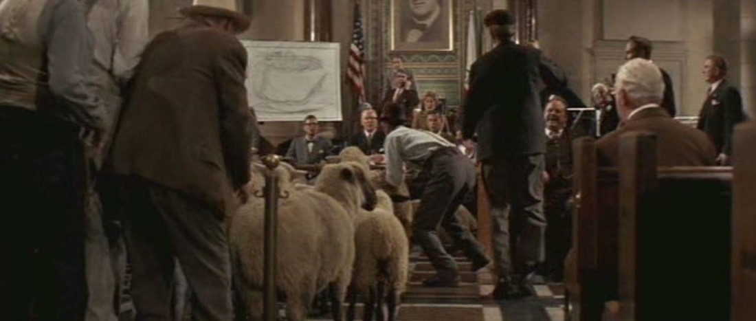 By contrast, there are two moments of covert or unsanctioned map-reading, where we are not shown the maps: 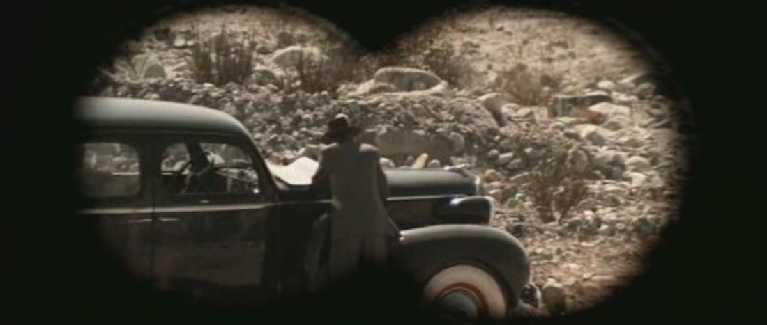 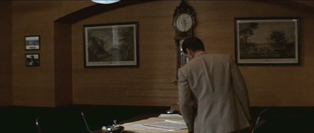 (See also the BlowUp moment on Chinatown, here.)
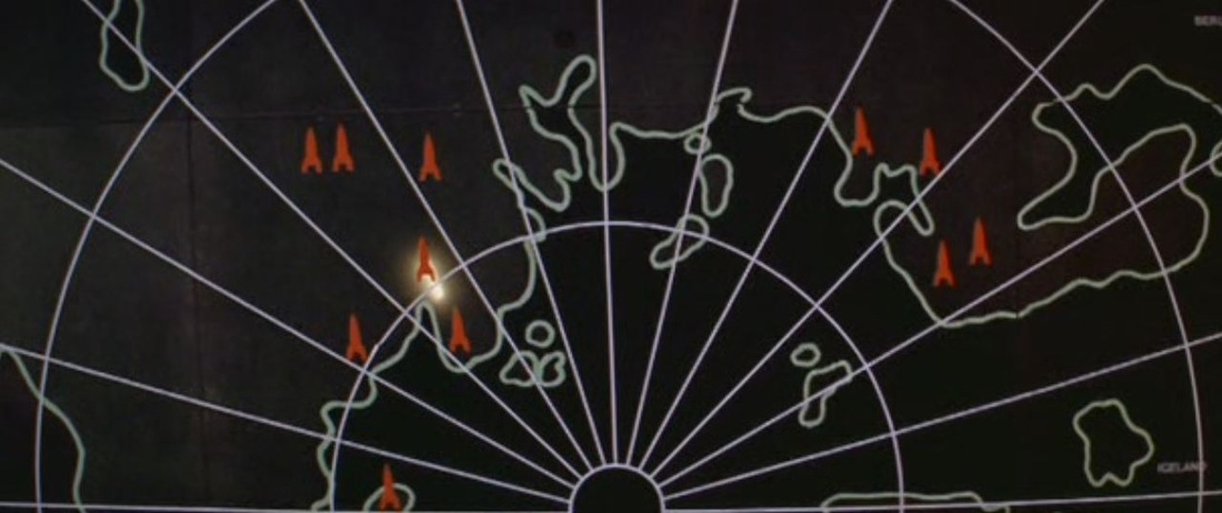
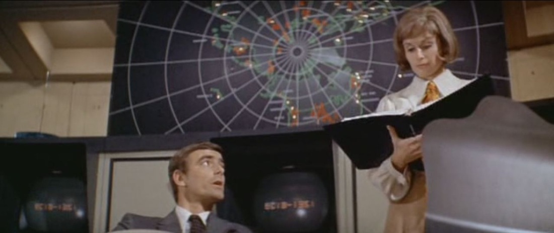
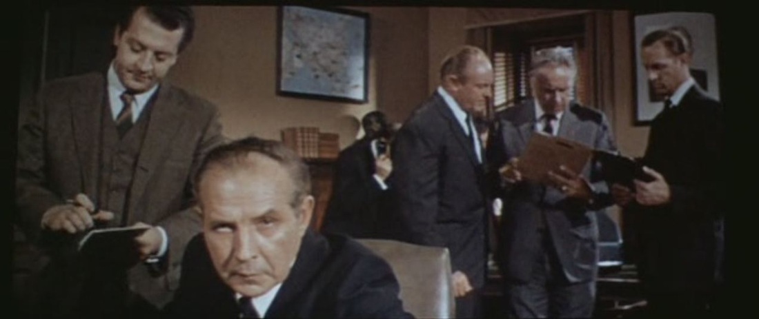
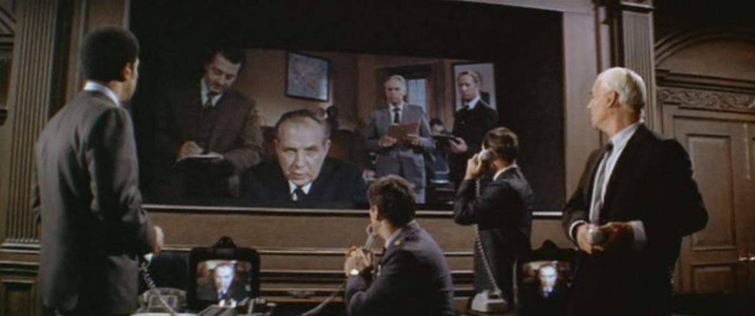
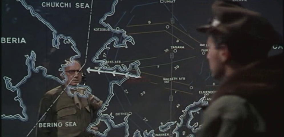
Firstly shown in illustration of the purpose and capacities of Colossus, the US super-computer, maps in big control rooms become the site of the film's action when Colossus and Guardian, the Soviet super-computer, take control: 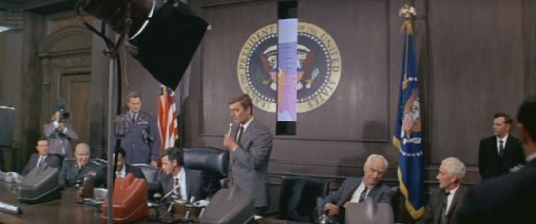
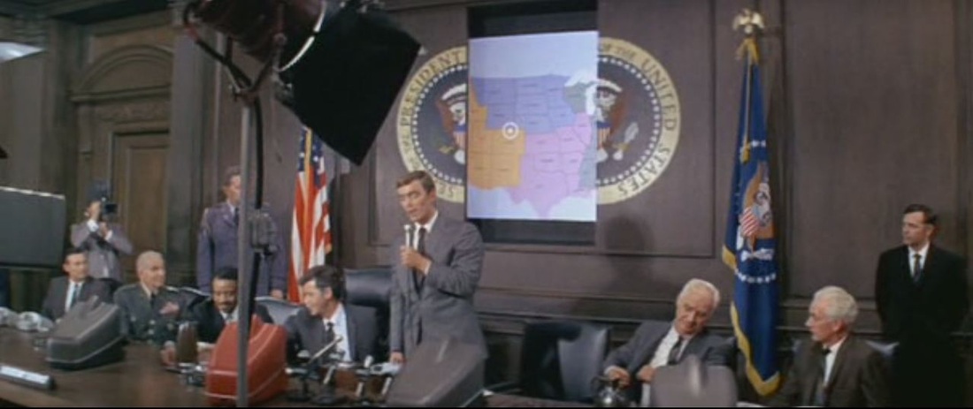
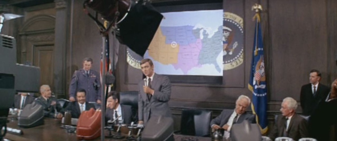
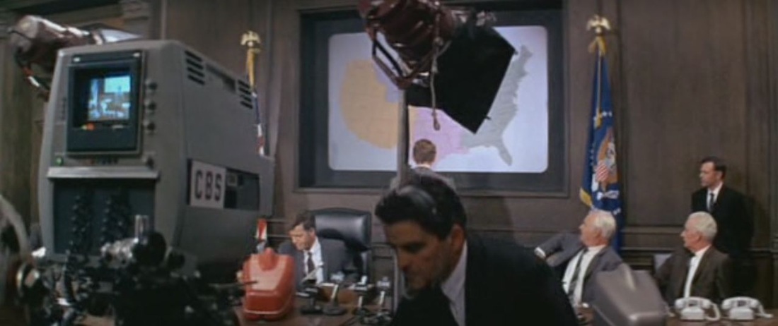
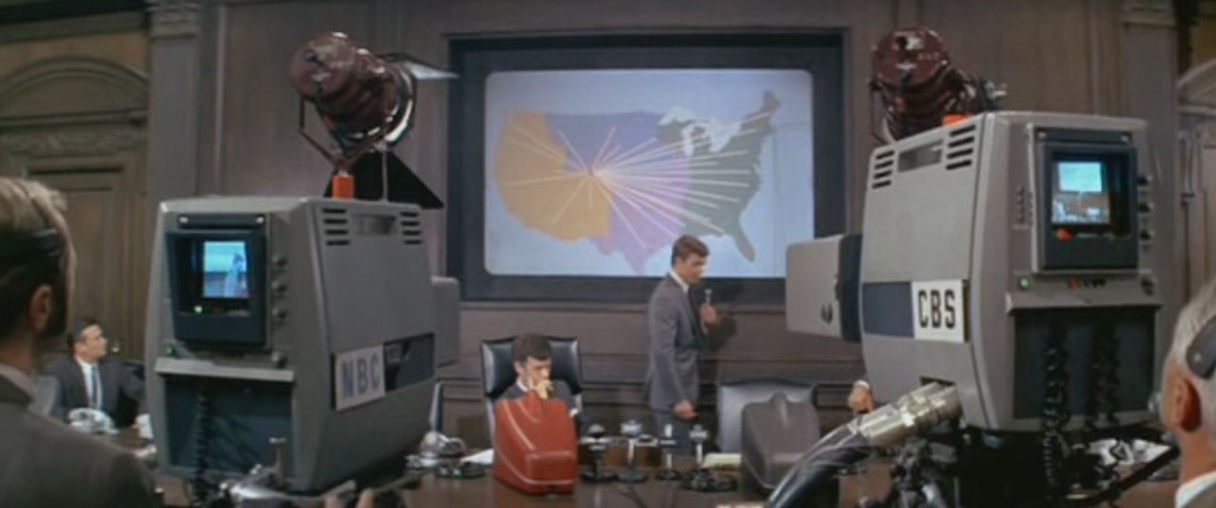
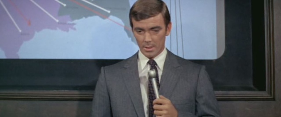
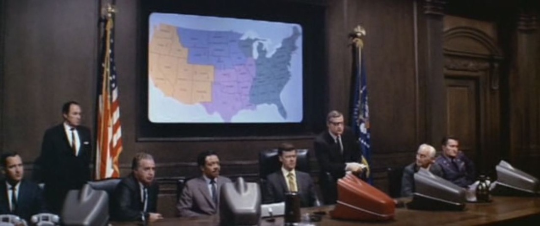
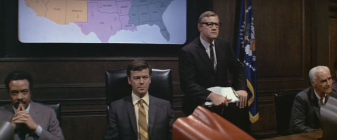
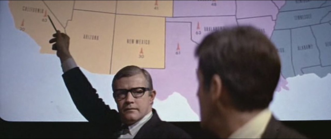
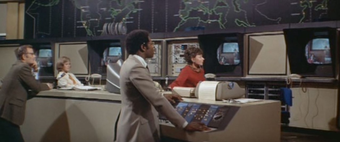
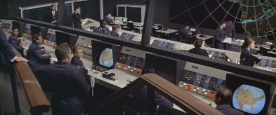
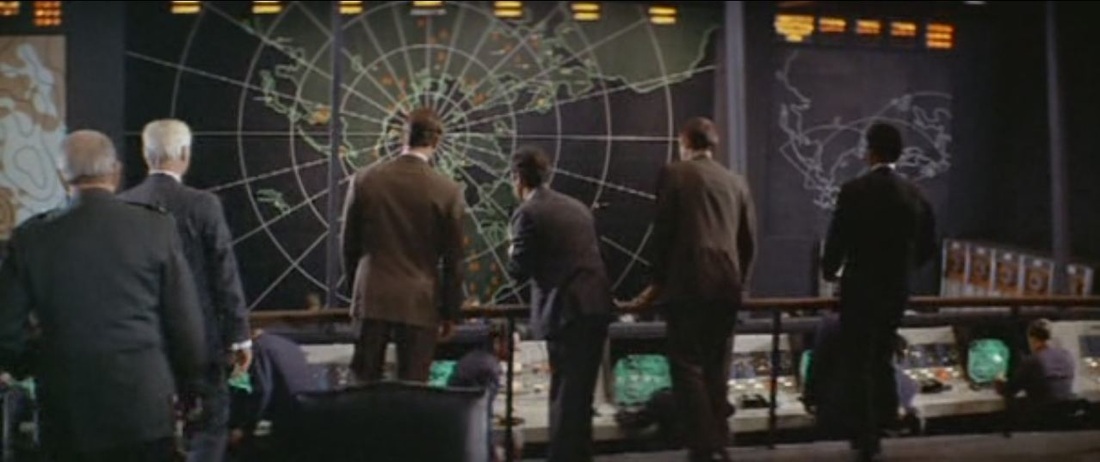
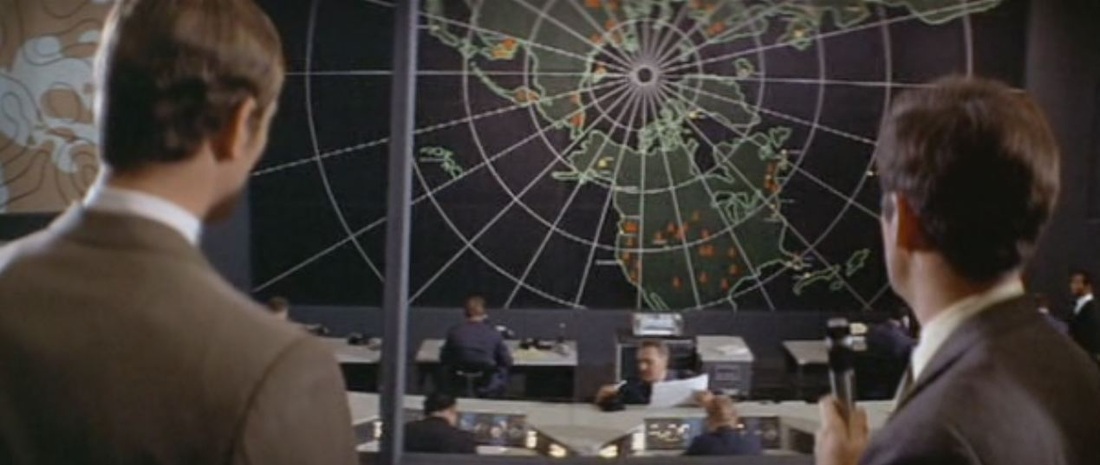
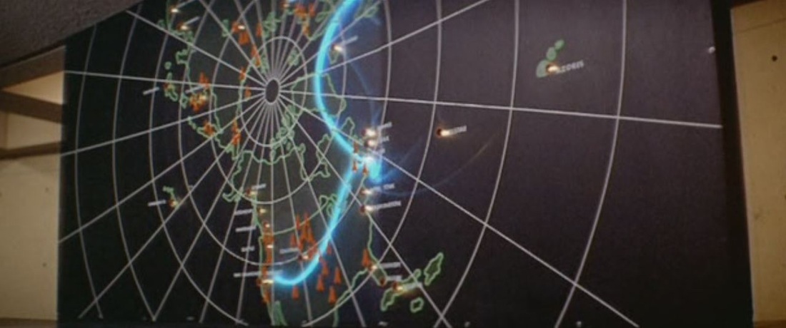
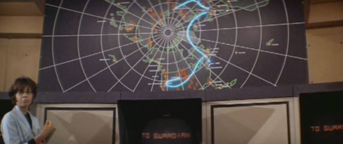
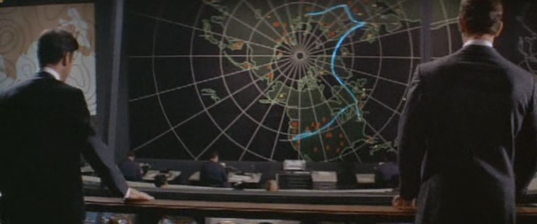
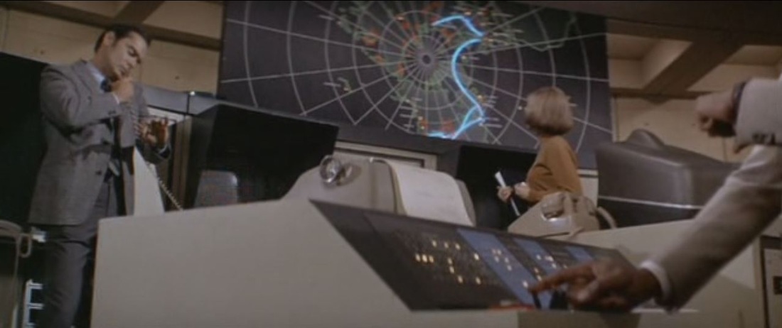
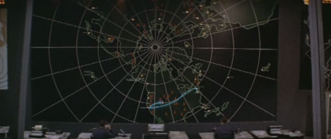
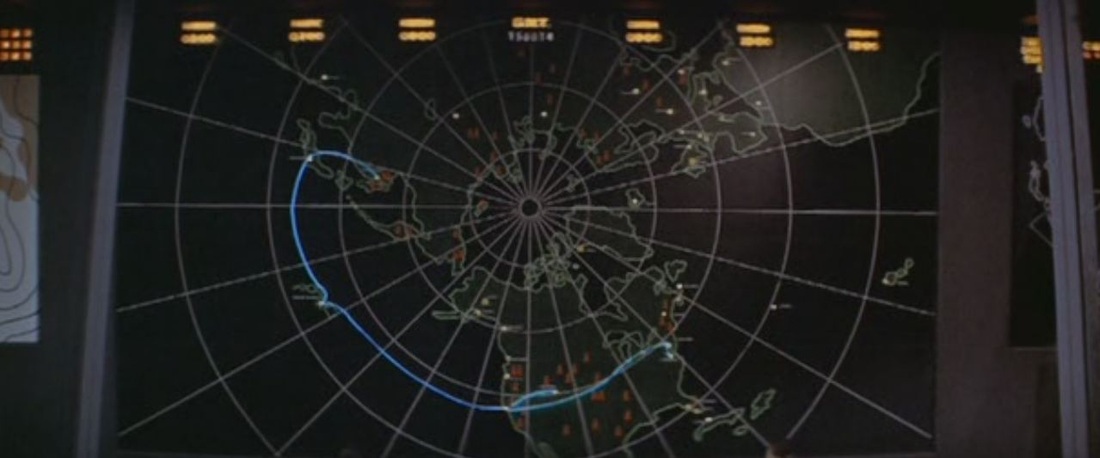
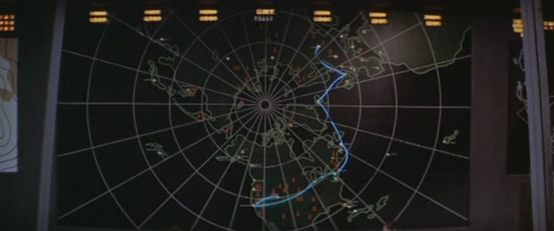
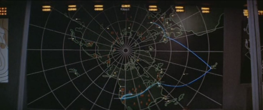
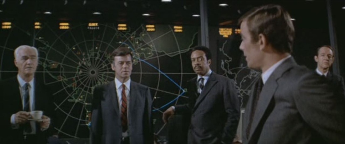
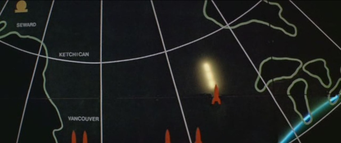

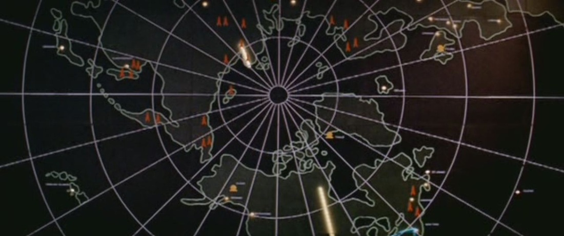
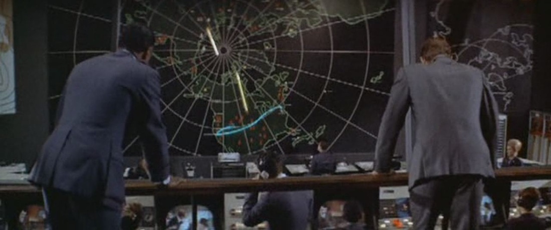
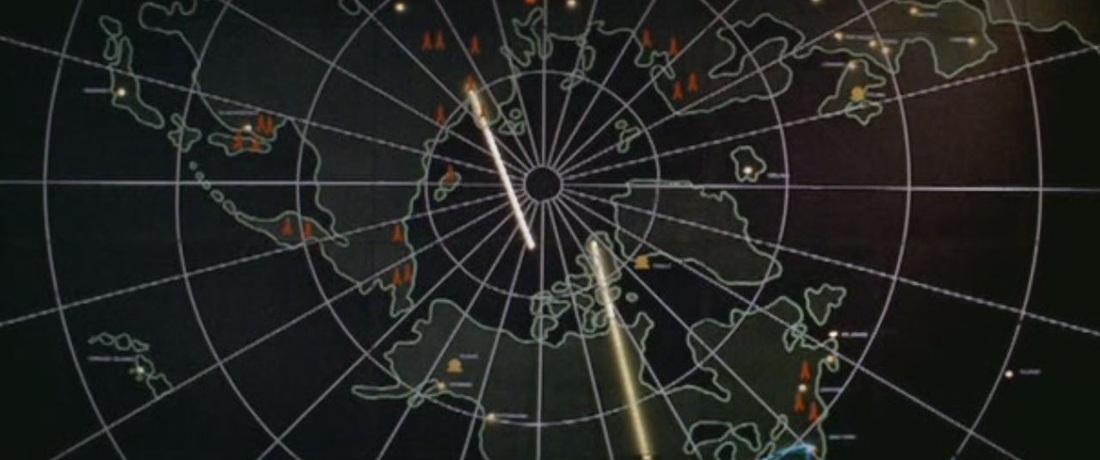
All the sophisticated cartography is on the US side. The Soviets appear to have just one small map at the back of the room, which nobody looks at: 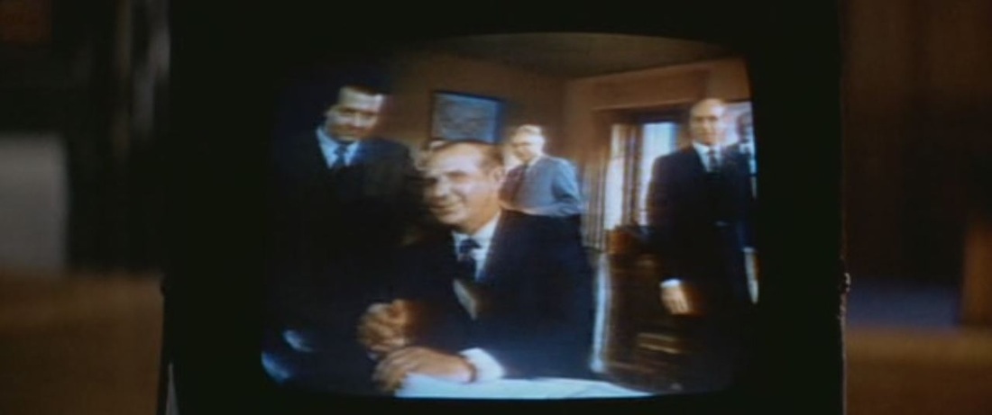
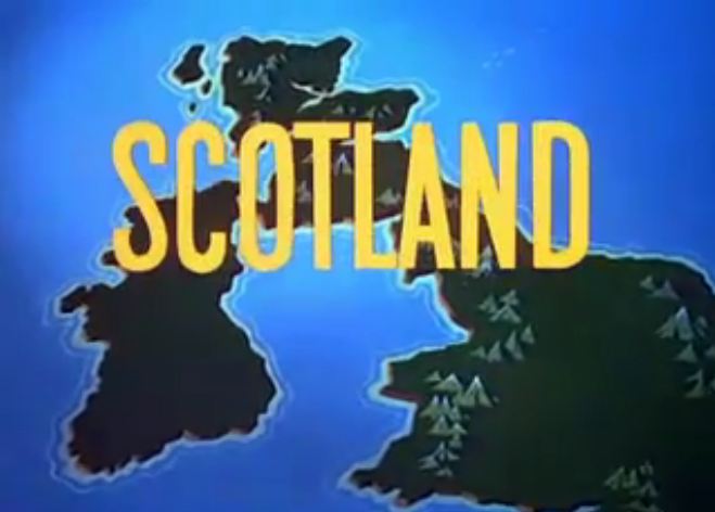
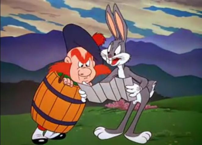
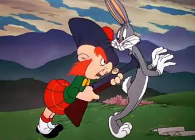
This entry in the long saga of 'Bugs Bunny misreads the map' films (see e.g. here) opens with a map to establish the locale in which Bugs will find himself. A signpost also contributes, before Bugs delivers a variant on his familiar spiel: 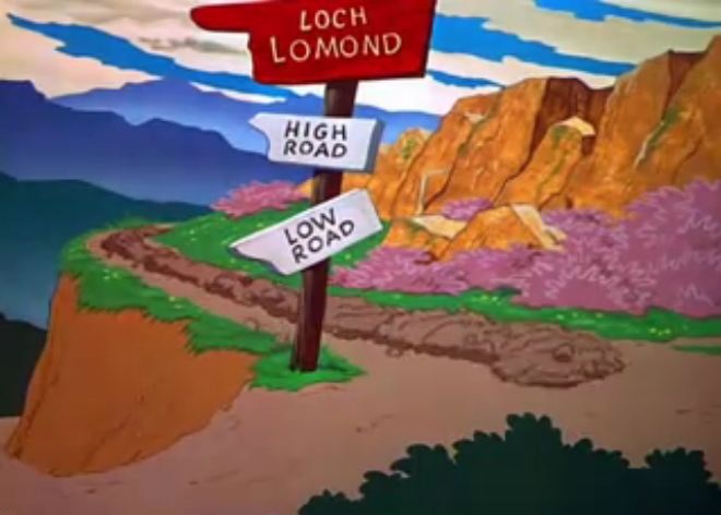
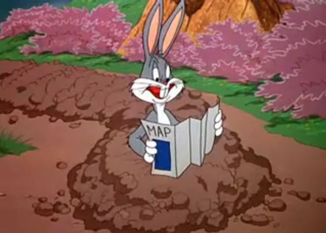


'Now let’s see now. Through Azuza, turn left at Cucamonga, till you hit Los Angeles. Then straight up Wilshire Boulevard to the La Brea Tar Pits. Mmm, don’t look much like Los Angeles to me. I knew I should have taken that left turn at Albuquerque.' 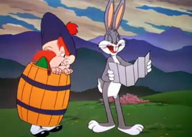
'Could you point out to me the shortest route to the La Brea Tar Pits in Los Angeles?'
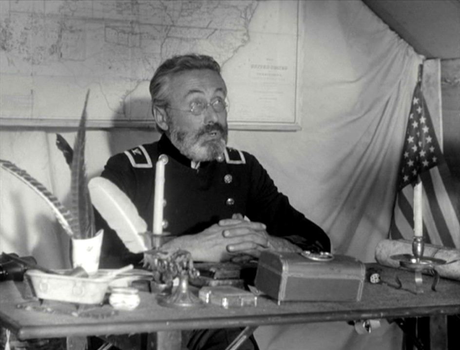
'La Brea Tar Pits? There are no La Brea Tar Pits in Scotland.' 'Scotland? Eh, what's up, MacDoc? ' 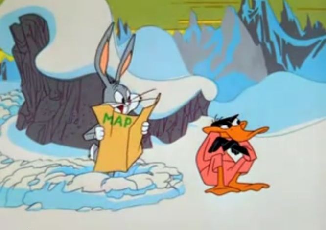 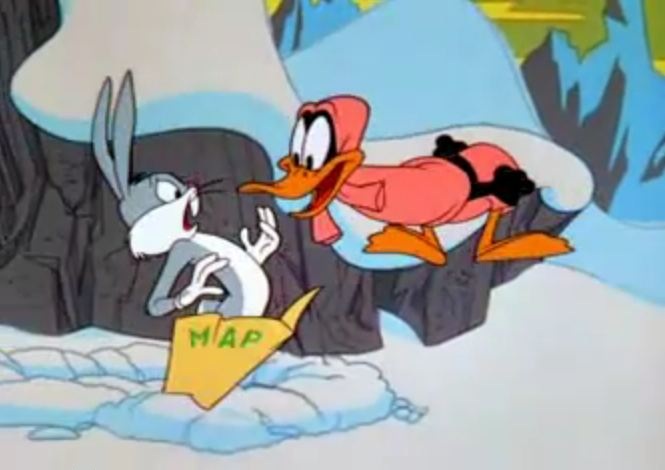 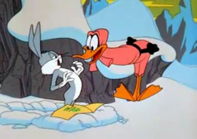 'You and your shortcuts. I told you to turn west at East St Louis.' The Abominable Snow Rabbit (Chuck Jones 1961)  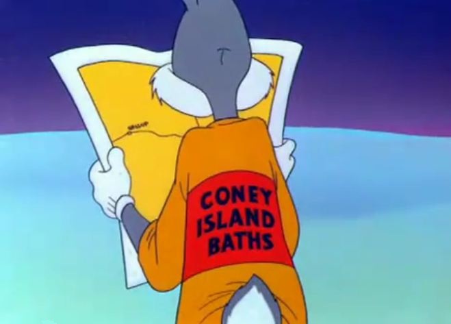 'This don’t look like Miami Beach to me, this looks more like California. Let's see now... South Pole? Oh, I get it. I should have turned left at Albuquerque.' Frigid Hare (Chuck Jones 1949)   'Well, here I am. Hey, just a cotton-picking minute. This don't look like the Coachella Valley to me. Hmm, I knew I should've taken that left turn at Albuquerque.' Bully for Bugs (Chuck Jones 1953)  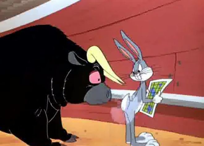 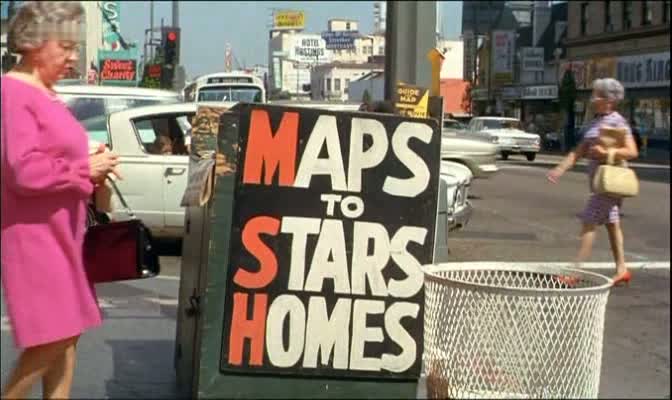 Varda's film may have consulted such a map for the brief visit to the stars' homes that follows this shot, but mostly her exploration of Hollywood is conceptual rather than topographical. Shirley Clarke, who has come there to make a film about Hollywood, is told by the film historian Carlos Clarens that she should have stayed back in New York, at the Chelsea Hotel: - You could have made your movie in New York. - But it's not the same thing, I mean, this is the actual physical place. - There never was such a place as Hollywood anyway. ... Hollywood is a state of mind, nostalgia. The only map in the film appeared earlier, in television footage around the death of Robert Kennedy, following the train taking his body to New York. 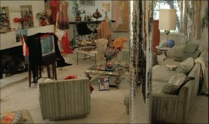 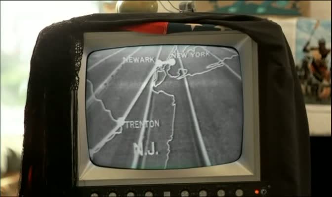 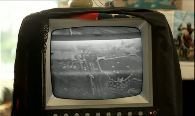 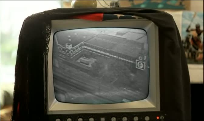 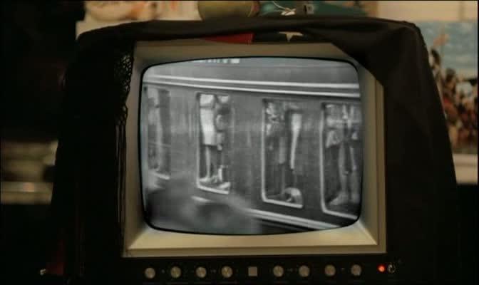  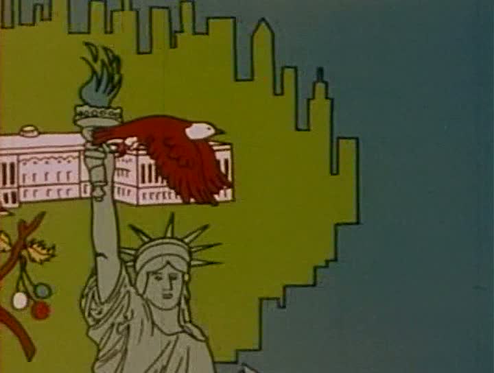 This brief (under four minutes) but copious animation of U.S. icons - produced by the United States Information Agency - hints at the iconicity of maps in these successive views of West Coast and East Coast, with in the latter case a remarkable fusion of skyline and coastline that undoes a basic cartogaphic given. The map returns, as outline, when the relatively un-iconic - can I say ugly? - silhouette of the U.S. mainland serves as frame for the faces of three presidents - Jefferson, Th. Roosevelt and Lincoln as we know them from Mount Rushmore: 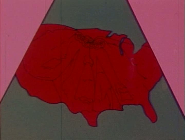 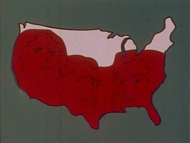 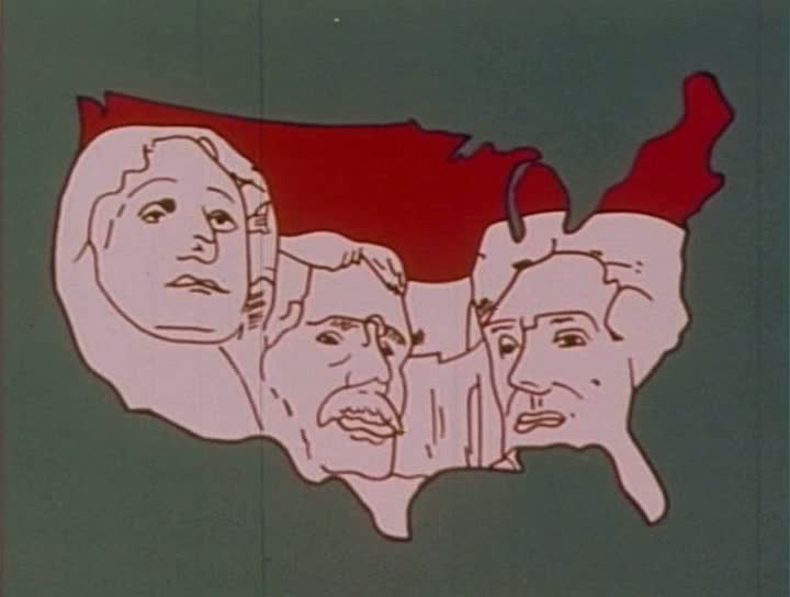 Any anxiety as to why Washington is missing - he should after all be the key president in a celebration of the Bicentennial - is relieved when, crossing the Delaware, he passes in front of this icono-cartographic backdrop: 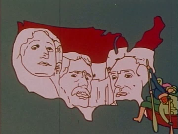 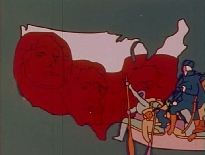 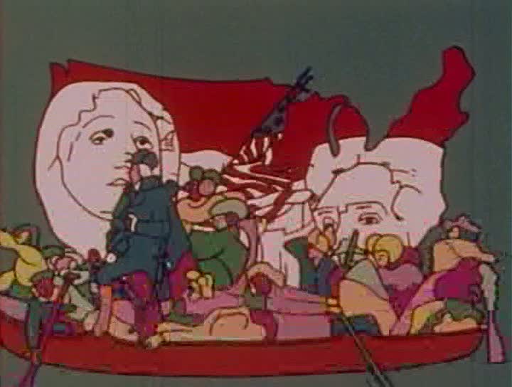 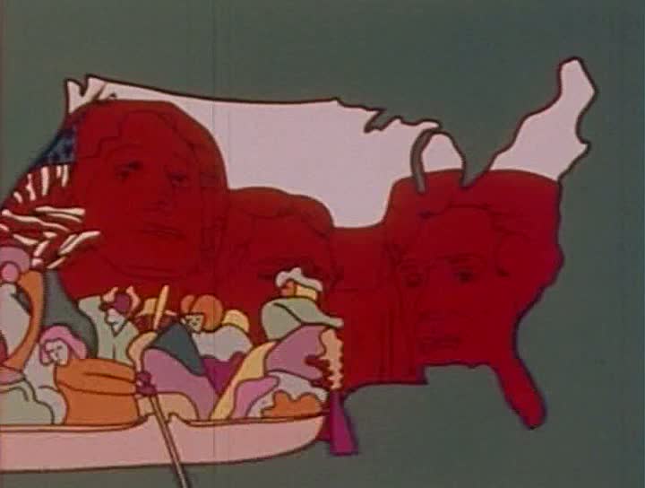 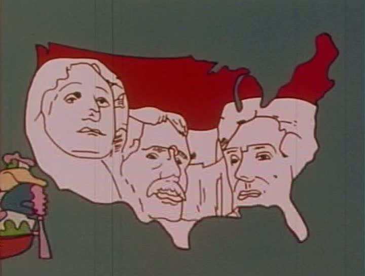 The sequence ends with a movement from iconography to abstraction, as the map morphs into mere pattern (before becoming a hat): 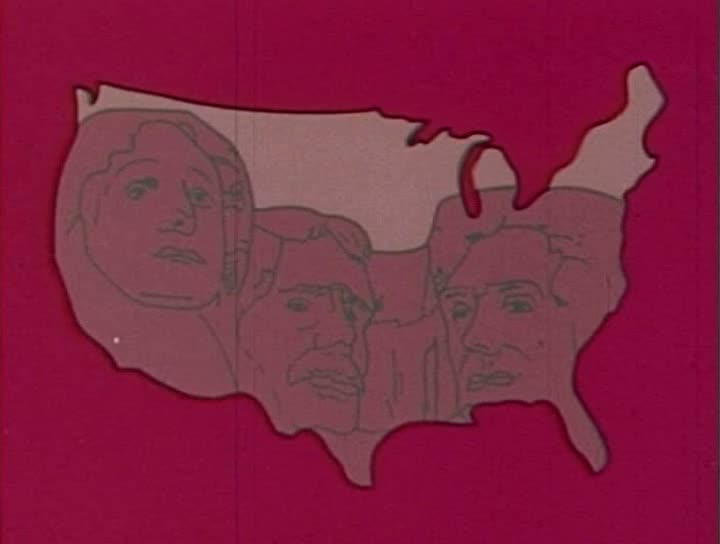 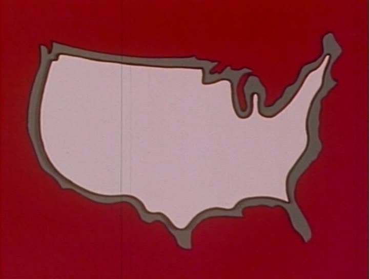 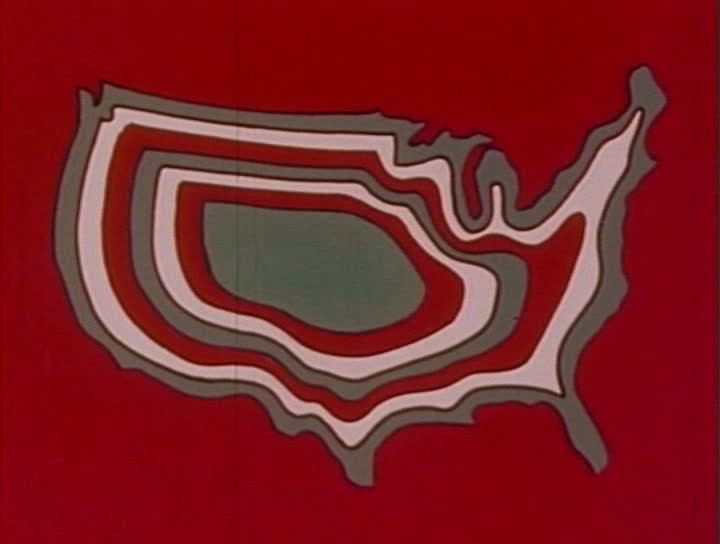 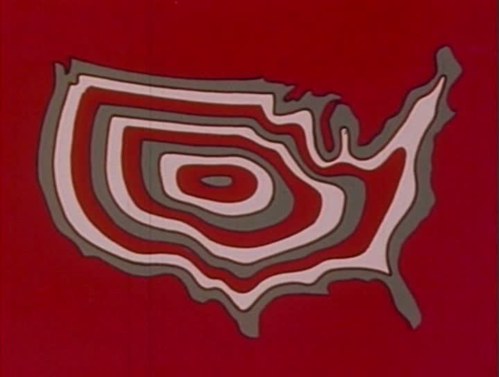 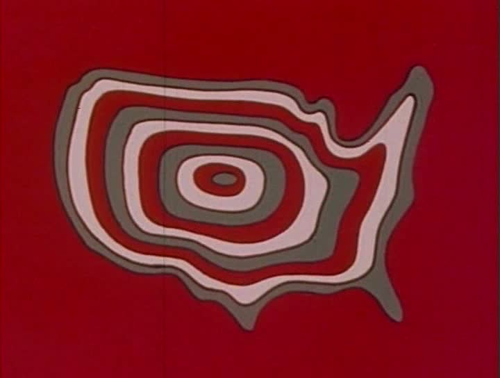 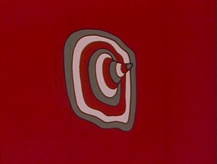 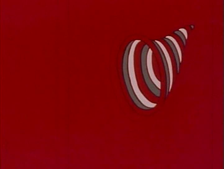 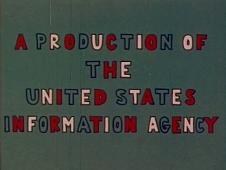 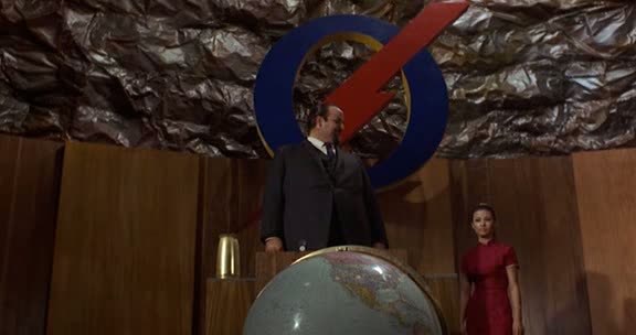 There are six maps in this spy spoof, all of them of the United States or parts thereof. What they lack in topographical breadth they make up for by varieties of form. At headquarters a set of sliding maps shows first California then a panel with Arizona and New Mexico: 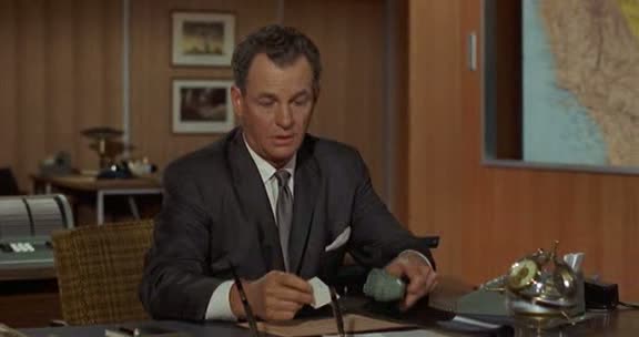   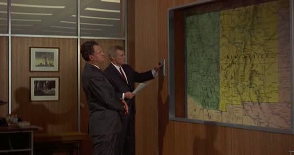 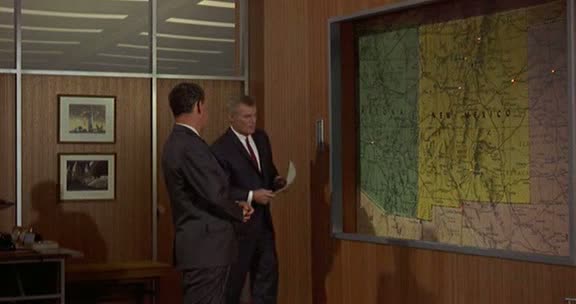  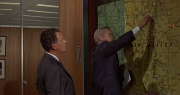 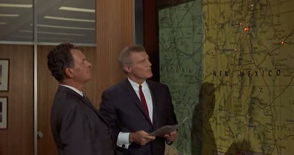 The film's US-centric cartography deprives its evil genius of the usual large-scale world map that would represent the scale of his ambition. True, he does have a globe, but what we see of it shows the Americas, and specifically the United States:  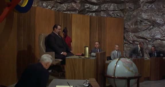 A map of the US is shown as part of the ordinary décor of a gas station, but when the seemingly ordinary manager turns out to be an agent of the evil genius, the map reminds us that the danger is localised:      The plot to detonate explosions is exactly mapped in a control room seen through cctv monitors, with a close up localising the danger spot (the local here means specific nuclear test sites): 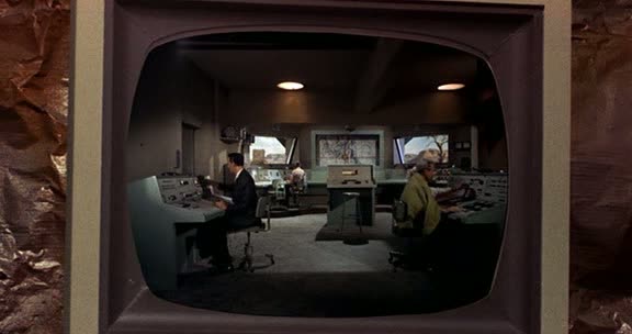 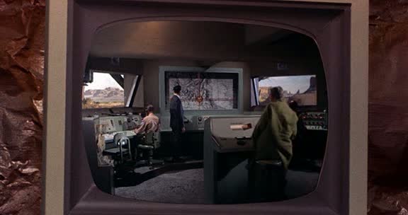 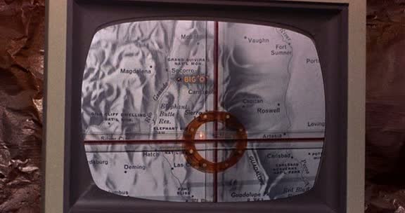 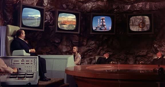 The finest map moment is this overhead view of the region concerned, followed by a close up in which the evil genius releases a red liquid to illustrate his plan: 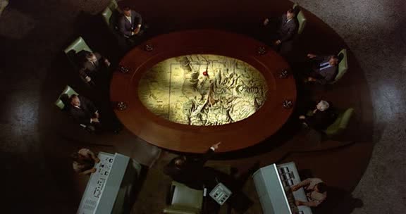 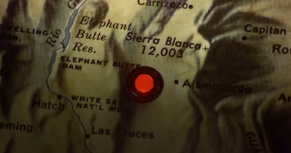 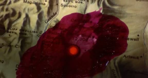 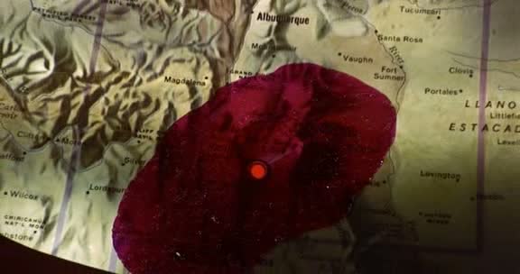 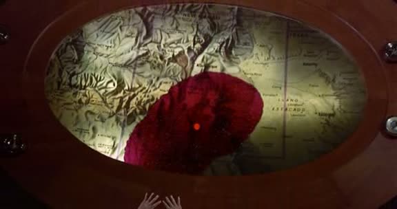 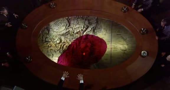 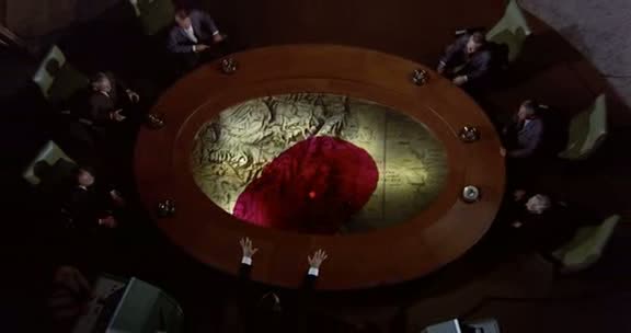 The climax is the thwarting of the plan by an attack on the control room (no longer viewed through cctv) and the adjustment of a missile's trajectory: 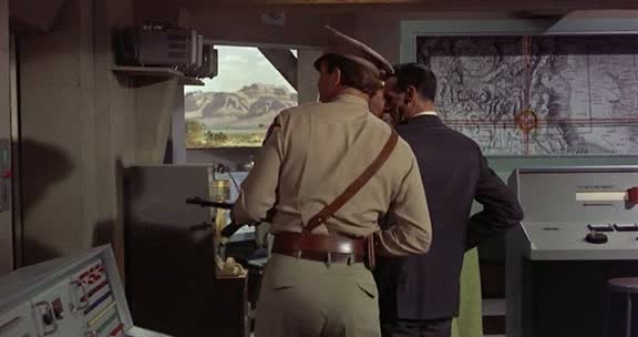 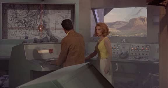 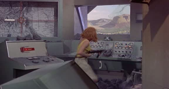 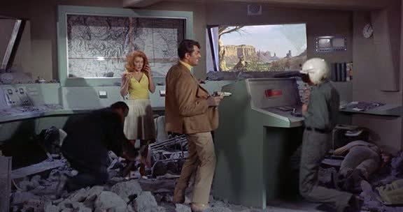 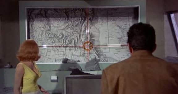 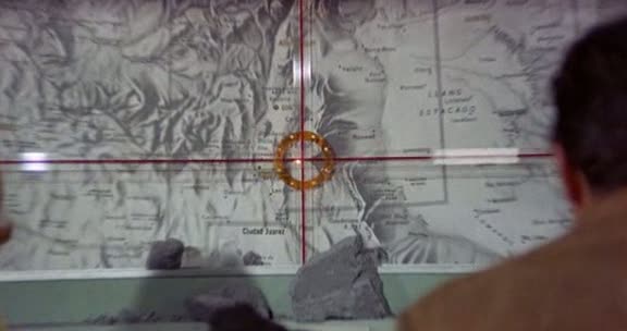 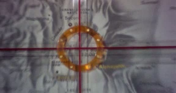 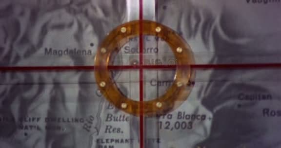 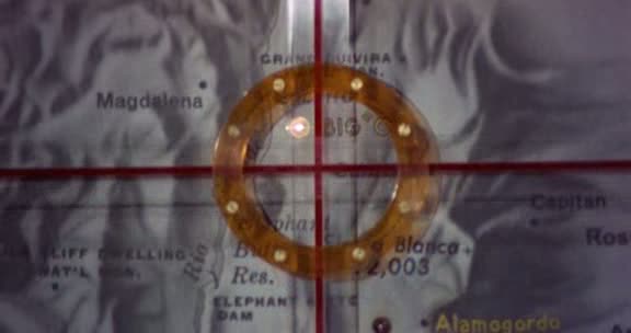 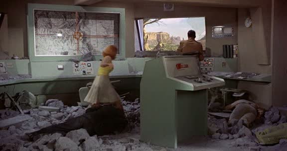 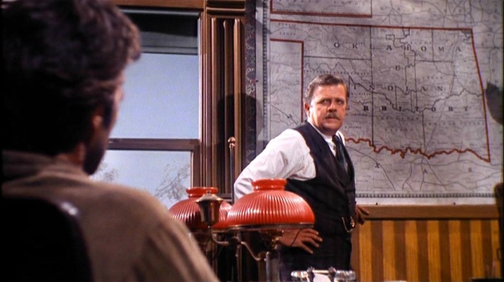 Judge Fenton: There you are. The Oklahoma and Indian Territory, year of our Lord 1889. Nineteen marshals. I was authorized sixty when I came here. I told the President even that wasn’t half enough. Nineteen marshals and one court, to cover near 70,000 square miles. A happy hunting ground filled with bushwhackers, horse thieves, whiskey peddlers, counterfeiters, hide peelers, marauders that’ll kill you for a hatband. Now, that’s why there’s a badge in my desk, Cooper. Itching to sit on somebody’s chest,and no takers. Cooper: Your marshals do cover a lot of territory. Judge Fenton: You’ll ride circuit over an area half again the size of Rhode Island. If and when it’s Marshal Cooper. (See here for a large collection of pre-1900 maps of Oklahoma and the Indian Territory, amongst which, regrettably, I have not found the map in this film.) 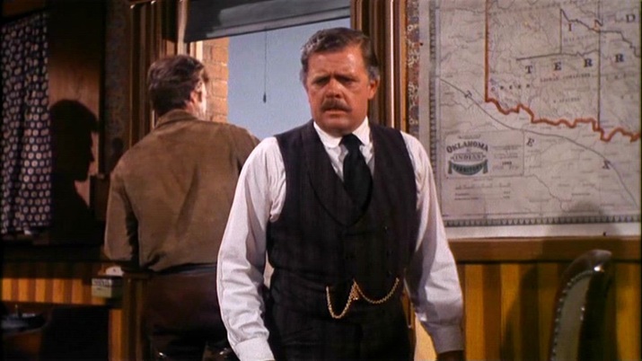 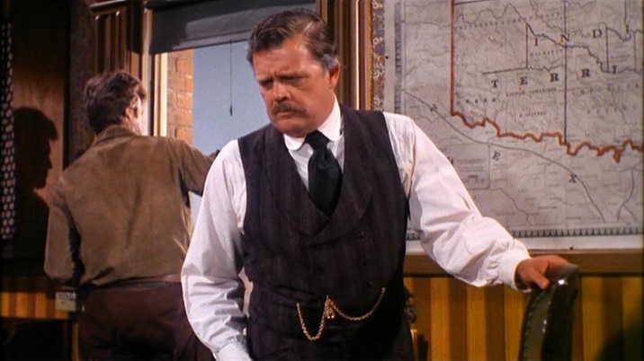 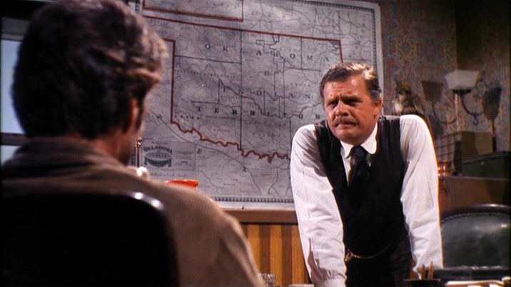 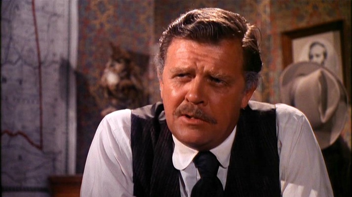 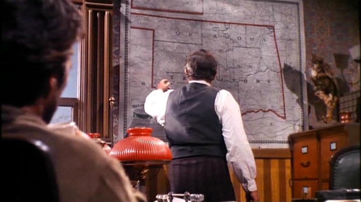 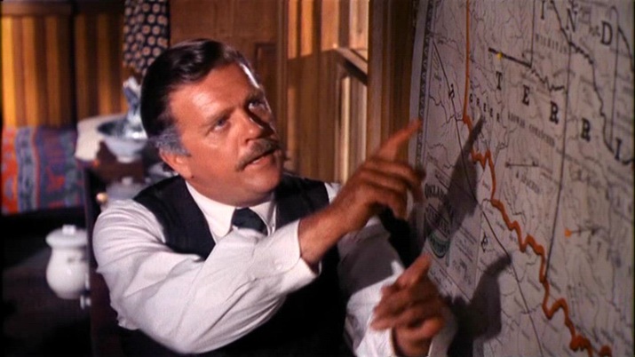 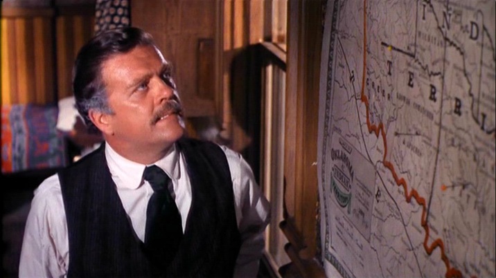 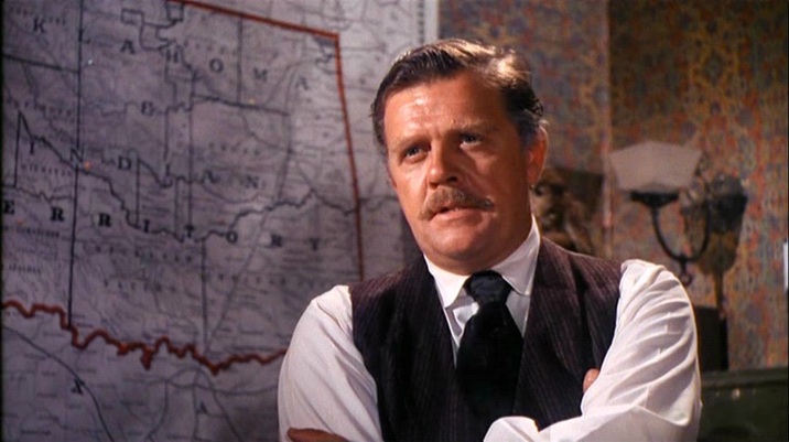 |


